Download
1 / 22
220 likes | 351 Vues
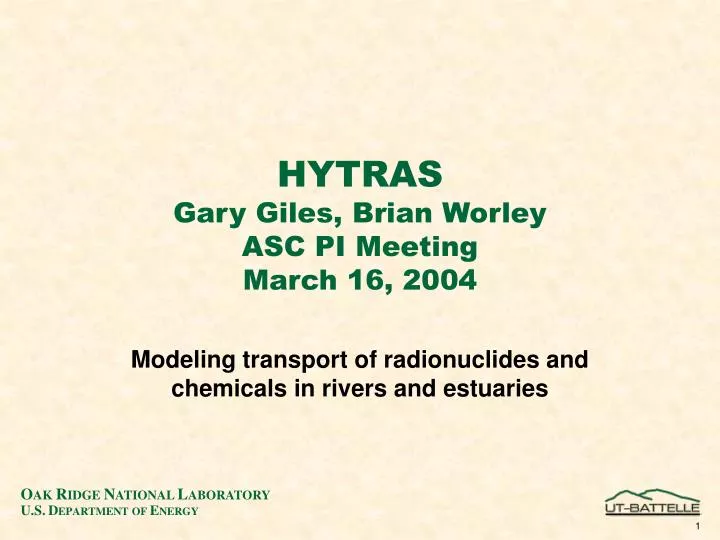
HYTRAS Gary Giles, Brian Worley ASC PI Meeting March 16, 2004. Modeling transport of radionuclides and chemicals in rivers and estuaries. Problem statement. Interdiction strategy at ports Consequence management (CM) Realistic training. Models.

E N D
HYTRASGary Giles, Brian WorleyASC PI MeetingMarch 16, 2004 Modeling transport of radionuclides and chemicals in rivers and estuaries
Problem statement • Interdiction strategy at ports • Consequence management (CM) • Realistic training
Models • Fast model for scenario analysis (SA) and training • Minutes on a laptop • Intermediate model for SA • Minutes on a mid-sized HPC machine • High fidelity model - validation and guidance • Hours to days on MHC machine • Used for real situation (forensic, CM, etc.)
HYTRAS - Existing model • Fast running - for rivers only • Developed for DTRA to be used with HPAC • Simple model for Radiological/Chemical/Biological materials • World wide db - 200 rivers including length, width and depth.
FY03 work • Extend HYTAS to model estuaries • Support Interdiction analysis • Model accurate for some bays/estuaries • Working with U. of Fla. • Began development high fidelity model • Survey existing models • Survey existing data for river/estuaries
HYTRAS • Original version used compartment model for transport and fate of a contaminant in rivers. • Many contaminant-specific processes included (see next slide). • Between water and sediment • Between water and air • Models either chemicals or radionuclides • Models a single channel, not tributaries - conservative assumption for concentration.
Loading Pi(t) Volatilization kv Water Column Depth H1 Volume V Inflow Qf Outflow Qf Adsorption/Desorption Kd First-Order Decay Constant λi Settling Wa Resuspension Wrs Adsorption/Desorption Kd First-Order Decay Constant λi Sediment Column Depth H2 Sedimentation Ws
Estuary/bay model • Reversal of flow (i.e., tidal flow) added to HYTRAS 1D compartment model. • Linkage to existing 1-D estuary/bay model underway (University of Florida) • St. John’s River system (Jacksonville/Mayport Naval Base) used for development
Current work • A prototype 2D compartment model has been developed. • Uses flow data extrapolated from NOAA predictions. • With only a single chemical, this model takes too long for a “First Responder” type of calculation.
Dr. Peter Sheng’s 1D code • Dr. Sheng has developed a 1D code which calculates the movement of water through the estuary • Driven by predicted tidal results and wind • Can transport several species but HYTRAS Radionuclide model not yet incorporated
Computation resources required grows with complexity of model
Numerical methods • HYTRAS uses an explicit technique • Adequate for 1D - uni-flow cases • Courant stability limitation requires excessive cpu time for estuary and 2D • Implicit technique needed • Requires special techniques for parallel • Sheng uses more efficient technique • Radionuclide calculations require matrix manipulation every time step • Will significantly increase cpu time requirement for HYTRAS/Sheng
More work to do • Resulting model will be ported to a parallel computer • Future work will add: • 2-D, then 3-D estuary/bay models • Link to population database • Ocean model
HYTRAS uses geospatial information hydrological data, and soil and sediment characteristics to estimate nuclear, biological, and chemical agent concentrations in water and sediment Protecting the Nation’s Water Supply: Hydrologic Transport Assessment System (HYTRAS) HYTRAS predicts the transport of nuclear, biological, and chemical agents in surface waters LandScan population in 500-m cells Drinking water intakes serving more than 10,000 people Hydrologic regions HYTRAS includes an Estuary/Bay Model