Download
1 / 19
200 likes | 384 Vues
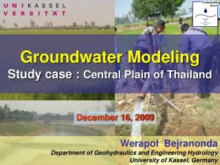
Groundwater Modeling Study case : Central Plain of Thailand. December 16, 2009. Werapol Bejranonda Department of Geohydraulics and Engineering Hydrology University of Kassel, Germany. Contents. Study Area / Groundwater hydro. Methodology Groundwater Modeling Application of the model.

E N D
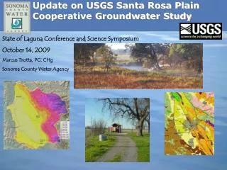
Groundwater ModelingStudy case : Central Plain of Thailand December 16, 2009 WerapolBejranonda Department of Geohydraulics and Engineering Hydrology University of Kassel, Germany
Contents • Study Area / Groundwater hydro. • Methodology • Groundwater Modeling • Application of the model
Geological Map of Thailand Study Area • Upper Central GW Basin • of great central basin • Agricultural Bangkok (Capital) *The first upper central regional GW Model • Lower Central GW Basin • of great central basin • Industrial • Agricultural Hydrogeological map of upper central GW basin GW Basins
Study Area Study Area Boundary • 4 Main Streams • Yom Rive • Nan River • Ping River • Sakaekrang River cover 5 main surface-water basins Surface Water
Study Area UTD SKT PSL KPP PCT 47,000 km2 NKS Project study area covers 6 Provinces
Existing Conjunctive Use • Irrigation area • Rainfed area • Personal GW pumps
Layer Classification Flood Deposit & Low Terrain High Terrain
GW Model (MODFLOW) 2 Layers Conceptual Model 10 km. Upper : 320 grids Lower : 346 grids 10 km Upper Layer(Semi-confined) Lower Layer(Confined)
Recent Flood Plain Deposits Low Terrace Deposits High Terrace Deposits Rock Upper Layer thickness 40-100 m. Lower Layer thickness 100-300 m.
Calculation Method • Steady Calibration : 2003 • Transient Calibration : 1993-2003 • Model Verification :2003-2005 1.Steady Statefor Hydraulic Conductivity 2.Transient State for Specific Storage 1993 2003 2005 3.Verification
Calibration & Verification Steady Transient
Space Dimension GW Use Ratios Time Dimension
Surface and Groundwater Use Conjunctive Use Patterns Ratio of Groundwater Use to total water demand
Application#1 : GW Level in pilot areaGW yield awareness Agricultural well yield Simulated as Drought year
2005 Application#2 :Regional GW table 2018 Simulatedgroundwater table using conjunctive use ratio 2003 2026