Space-Based Applications for Hazard and Disaster Mitigation Programs
260 likes | 294 Vues
Explore how Space-Based Technologies benefit transportation safety and disaster preparedness, covering infrastructure vulnerabilities, damage assessment, and reconstruction planning.

Space-Based Applications for Hazard and Disaster Mitigation Programs
E N D
Presentation Transcript
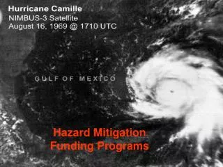
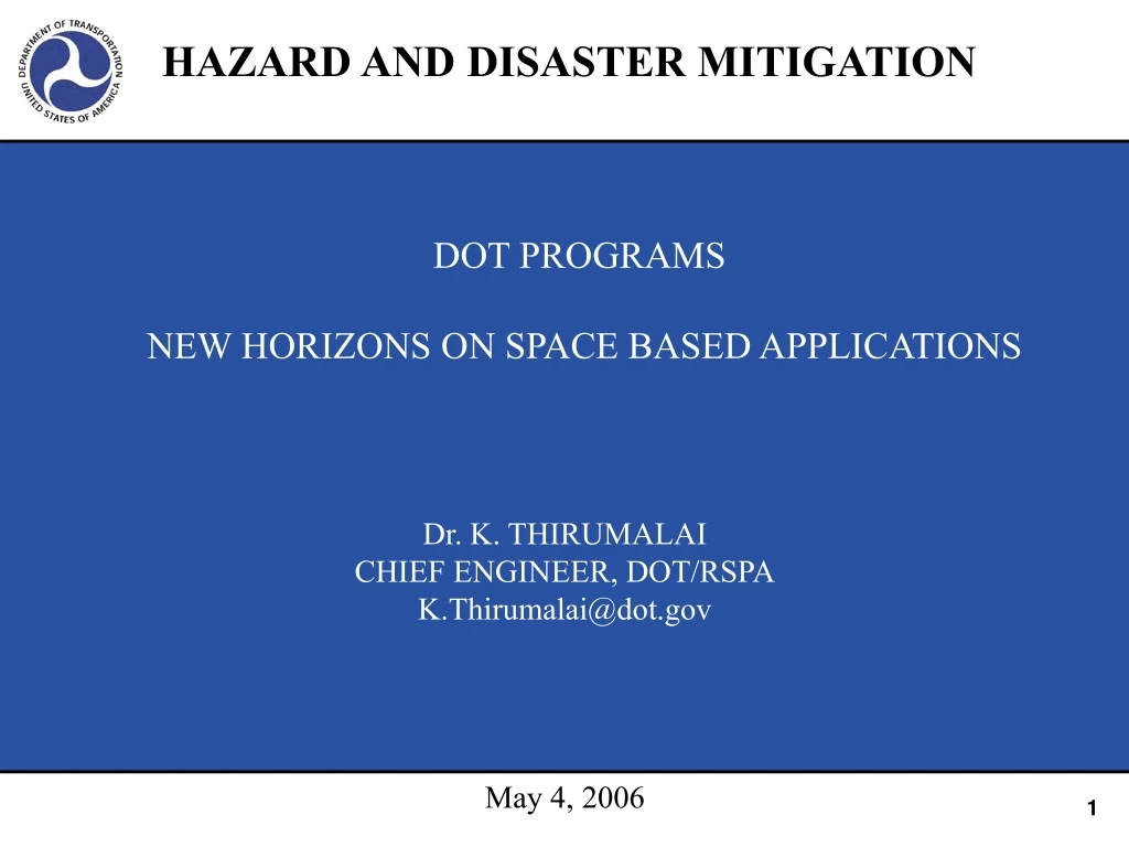
HAZARD AND DISASTER MITIGATION DOT PROGRAMS NEW HORIZONS ON SPACE BASED APPLICATIONS Dr. K. THIRUMALAI CHIEF ENGINEER, DOT/RSPA K.Thirumalai@dot.gov May 4, 2006
U.S. DOT mission and vision Mission: “Serve the United States by ensuring a fast, safe, efficient,accessible and convenient transportation system that meets our vital national interests and enhances the quality of life of the American people, today and into the future.” Secretary Mineta’s Vision: “Safer, simpler, smarter transportation systems and solutions.” Transportation safety solutions include safety of infrastructure and communities from unplanned natural and technological disasters
U.S. DOT Administrations Programs IncludeHazard and Disaster Mitigation Functions Office of the Secretary Aviation Weather Monitoring & Warning Systems Federal Aviation Administration WEAHER Maritime Administration Federal Highway Administration Infrastructure R&D Clarus Initiative National Highway Traffic Safety Administration Federal Motor Carrier Safety Administration HAZMAT & Pipelines Hazard And Disaster Management Pipeline & Hazardous Materials Safety Administration Federal Railroad Administration Remote Sensing & Space Based Products Applications (GPS&GIS) Research & Innovative Technology Administration Federal Transit Administration Saint Lawrence Seaway Development Corporation FAA, FHWA, FRA, RITA and PHMSA Programs and Secretary’s Office of Security Have Program Components That Relate to Hazard and Disaster Mitigation and Preparedness
DOT R&D FY 04-06 R&D Funding
U.S.TRANSPORTATION INFRASTRUCTURE VULNERABLITY CHALLENGES INFRASTRUCTURE 4 Million Miles of Roads 500,000 Bridges 150,000 Rail Track Miles 5,500 Public Use Airports 25,000 Miles of Waterways 1.6 Million Pipeline Miles • 4 Trillion Passenger Highway Miles • 920 Billion Freight Ton Miles on Road • 1.3 Trillion Ton-Miles of Rail Freight • 403 Million Passenger Air Miles • 600 Billion Ton-Miles of Oil • 19 Trillion Cu.ft of Gas Cost of One Tenth of One Percent National Impact in Transportation Service Disruption Is Over One Billion $
Importance of Space Based Applications for Hazards and Disaster Mitigation Because of Extensive Spatial Distribution of Transportation Physical Infrastructure, Space Based Technologies Offer the Following Advantages To Monitor and Mitigate Disaster Impacts Locating Discontinuities and Disturbances to Critical Infrastructure Estimating Vulnerabilities in Hazard Prone Regions Faster Evacuation of Communities From Disaster Incidents Preparing Infrastructure and Corridor Planning in Disaster Prone Regions
THE NEW TRANSPORTATION ACT (SAFETEA-LU) AUTHORIZES A COMMERCIAL REMOTE SENSING AND SPATIAL INFORMATION TECHNOLOGY ( CRS& SI ) APPLICATION PROGRAM Commercial remote sensing products : Remote sensing products from satellites and above ground platforms and from unmanned vehicles from air space Spatial information technology products : Spatial technology products from Geospatial Information Systems (GIS) , GPS (Position, Navigation And Timing Technologies), and related ITS services. The integration and application of space based technologies would have a potential value for disaster mitigation and maintaining continued serviceability of transportation during natural disasters
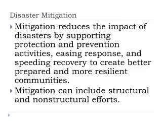
INFRASTRUCTURE HAZARDS , LOSS MANAGEMENT AND RECONSTRUCTION PLANNING • Post Disaster Damage Assessment Of Natural Disasters • Planning For Community Evacuation and Recovery • Infrastructure Reconstruction Planning
Disturbed ground/landslides/gullies Undisturbed ground Trees Landslide Mapping Using Principle Components Like Algorithm IKONOS 4m color-infrared, bands 4,3,2 Minimum Noise Fraction image
APPLYING IMAGERIES FOR DISASTER ASSESSMENT Change Detection Map Overlaid on Imageries for Application to Detect Structural Change after an Earthquake ( Northridge)
Fusing Remotely Sensed Data and Information in Coastal Town Areas in Mississippi • 30 years of change • Population Growth • Land use change • Transportation modes • I-10 • Ports (sea & air) • Rail and 366 grade crossings
Aerial Images: New Orleans FloodingTransportation Infrastructure Damage Remotely Sensed Data Provided an Unprecedented Amount of Highly Useful Data About the Impacts Of Hurricane Katrina In Planning the Recovery and Reconstruction of the Region
Emigration Oaks • Emigration Canyon • 3.5 miles east of Salt Lake City, Utah • 250+ homes planned • 6 miles long • 1 entrance / exit • Proposed 2nd exit
Average Evacuation Time Following Inclusion of 2nd Exit This Work Supported a Decision by Salt Lake County to Construct a Second Access Road Thus Preventing A Potentially Catastrophic Loss of Life in the Event of Wild Fires
UPGRADING SENSING PLATFORM CAPABILITIES FOR EMERGENCY APPLICATIONS Anytime Anywhere Imageries By Low Cost Un manned Vehicle Systems That Are Stationed At Transportation Management Centers Lighter And More Portable Sensor Systems For Deployment Near Real Time Data Analysis
DISASTER MTIGATION AND MANAGEMENT FEATURES NEEDED FOR NEXT GENERATION POST EVENT MANAGEMENT Critical Infrastructure Vulnerability Decision Process on Transportation Network Planning Planning for Disaster Emergencies Evacuation Management Post Disaster Management
EGI LBMS X-band antenna P-band antenna LBMS target phase center i k j x z y Aircraft Radar System Used in 9-11 LBMS X-band
EXPLORING TOOLS FOR “ANYTIME ANYWHERE IMAGERIES” AirborneDataAcquisition System (ADAS)Technology 34.25 in 8 in 116 in ADAS 84 in ADAS dimensions Experimental Aircraft
EXPLORING TOOLS FOR “ANYTIME ANYWHERE IMAGERIES”Sensor Options • Real Time Video • Stereo Multi-Spectral • Hyper-Spectral • SAR • LIDAR • Thermal IR • Radio-Relay • CBR Detection Project by Geodata
FEATURES NEEDED FOR NEXT GENERATION GROUND FAILURE EVENT RECOGNITION EARTHQUAKE DISASTER MTIGATION AND MANAGEMENT Land Mass Surface Deformation and Strain Precise Recognition of Strain Accumulation Extent of Energy Accumulations In Geologic Strata Signs of Incipient Ground Failure Identification of Onset of Energy Release Events Current Point Source Measurements Are Inadequate for Pre Vent Recognition.High Resolution , Land Mass Deformation Change Measurements Have Potential for New Horizons in Pre-event Recognition.
CONCLUDING REMARKS Exploring New Leapfrog Technologies Are Needed For the Next Generation Disaster Management Remote Sensing and Space Based Technology Applications Have Potential For New Capabilities in Pre Event Recognition and Post Event Planning and Disaster Management