Understanding Navigation and Bathymetry: Essential Skills for Map Reading and Location Finding
Knowing how to read maps and navigate is crucial, especially when technology fails. While GPS is convenient, it can be unreliable due to power dependencies, satellite availability, and interference from elements like saltwater and solar activity. Learning latitude and longitude is key to pinpointing locations on the Earth's spherical surface. Understanding distances in nautical miles, gauge depth with bathymetry techniques, and adapting to magnetic variations between geographic and magnetic north are essential skills for safe navigation at sea.

Understanding Navigation and Bathymetry: Essential Skills for Map Reading and Location Finding
E N D
Presentation Transcript
Why is it important for you to be able to read maps and navigate? • What’s wrong with GPS? • Rely heavily on power and satellites • Salt water and batteries • Sun spot activity breaks down radio transmissions • Always good to know how to use a map and compass
Finding locations on maps • On graphs, there are X and Y coordinates • Need to adapt these coordinates for a spherical world • Lat and Long
Latitude- parallels, 0-90 °N&S of the equator (always put the letter); always the same distance between each latitude line • Longitude- meridian, meet at the poles so always different distances between the longitude lines, 0-180°E&W • Writing: degrees(°), minutes(‘), seconds(“) Conway= 35° 50’ 9” N, 79° 2’ 53” W
On the charts • Lat and long do not have letters, why? • Its on a small scale, you should know where you are • What hemispheres are we in? • Lines are straight, why? • Small scale
30’ 20’
Speed and Distance • Subtraction: 60 sec=1 min, 60 min=1 deg • So you’re subtracting time 5 82 36° 22’ -34° 42’ 1° 40’ 1’ of latitude=1 nautical mile= 1.15 statute (land miles) Why latitude?? • Speed is measured in knots (1 nautical mile per hour) --a line with knots on it • 30’ latitude in 1 hour = 30 knots
Plotting courses • Read the course headings as 0-360°, not NSEW letters • Geographic North Pole- ‘true’ north, the top point of earth where you normally think of the north pole • Magnetic North Pole- magnetism of the Earth, moves around and sometimes flips to the geographic south pole • Therefore we need to make corrections, because our compasses point to the magnetic north pole, not geographic north
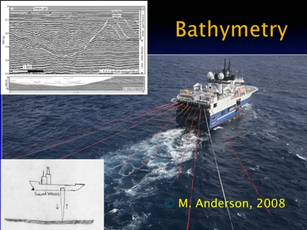
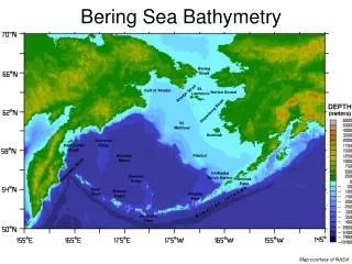
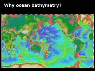
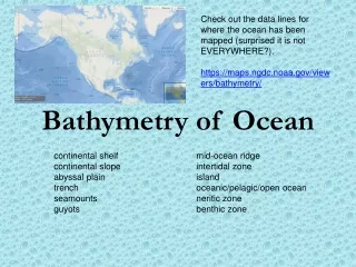
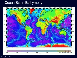
Bathymetry • Study of the depths, ocean floor • Old days- drop a lead-line and determine how much rope was let out, then measured it in arm lengths, or FATHOMS • 1 fathom=6 feet, 3feet=1 meter • Current way- sonar or echosounding • Sound has a speed of 1500m/s in water
Soundings- the depths at particular points, these are shown on the charts as single numbers • Contour lines- lines that connect equal depths (5fm, 10fm, 100fm, 1000fm) • Bathymetric profile- an X-Y graph of depth versus distance