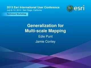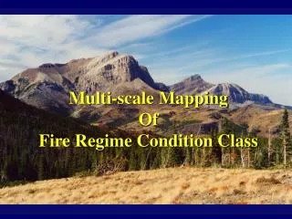
Generalization for Multi-scale Mapping
July 11 – 15, 2011. Generalization for Multi-scale Mapping. Jamie Conley and David Watkins. Generalization and Conflict Resolution. Generalization is the simplification and clarification of features to clarify their display at smaller scales

Generalization for Multi-scale Mapping
E N D
Presentation Transcript
July 11 – 15, 2011 Generalization for Multi-scale Mapping Jamie Conley and David Watkins
Generalization and Conflict Resolution • Generalizationis the simplification and clarification of features to clarify their display at smaller scales • Conflict Resolutionis the management of the extent and placement of symbolized features on maps • Both improve the quality of multi-scale map display
Contextual Generalization with Geoprocessing • Simplify data to display at smaller scales • Assess multiple layers contextually • Maintain representative pattern, density, and character • Resolve conflicts between symbolized features at scale
Cartographic production workflow • New at 10 Master Database • Thin Road Network • Merge Divided Roads Data Generalization Scale-specific Data Manual Editing Symbolization Map Layout • Resolve Road Conflicts • Propagate Displacement • Resolve Building Conflicts Cartographic Generalization Output Share Print Annotation Export
Cartographic processes Conflict Resolution (Graphic Conflicts toolset) Data Generalization (Generalization toolset) Symbolize data for output scale Reduce feature count Reduce feature complexity Resolve Road Conflicts Propagate Displacement Simplify Buildings Resolve Building Conflicts Simplify Line Aggregate Polygons Simplify Polygon Thin Road Network Detect Graphic Conflicts Smooth Line Merge Divided Roads Smooth Polygon Manual editing
Resolving Graphic ConflictsThin Road Network tool • Removes less significant roads from display • Retains representative pattern and connectivity • Visibility controlled by attribute, easy to modify
Resolving Graphic ConflictsMerge Divided Roads tool • Create a single highway feature from multiple lanes • Create a single road from a boulevard • Merge only equal-class roads together
Resolving Graphic ConflictsResolve Road Conflicts tool • Adjust roads to show visual separation • multi-lane highways, boulevards, dead-ends, roundabouts • Less significant roads moved to accommodate more significant roads
Resolving Graphic ConflictsPropagate Displacement tool • Conflict resolution may introduce spatial discrepancy • Adjust adjacent features to reestablish relationships • Use displacement output from other tools • Merge Divided Roads tool • Resolve Road Conflicts tool
Resolving Graphic ConflictsResolve Building Conflicts tool • Separate buildings from each other and from barriers • Retain relative density and pattern • Adjust visibility, size, and spacing, orientation
Generalization Road Ahead – 10.1 • Process large data sets • Collapse road details • Delineate built-up areas CartographicPartitions Built-up Areas Road Detail