Download
1 / 24
240 likes | 261 Vues
Request to amend the Comprehensive Plan Map for a vacant property from Civic and Institutional to Mixed Use (Residential Commercial) in Kiawah Island, SC. Includes details on land use designations, adjacent properties, and the approval process.

E N D
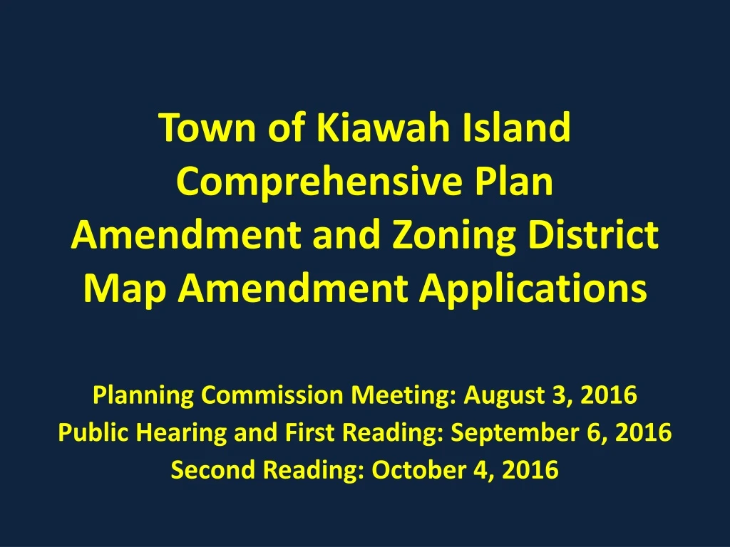
Town of Kiawah IslandComprehensive Plan Amendment and Zoning District Map Amendment Applications Planning Commission Meeting: August 3, 2016 Public Hearing and First Reading: September 6, 2016 Second Reading: October 4, 2016
Application Information Comprehensive Plan Amendment Application, Case # ACP-06-16-00103: Request to amend the Comprehensive Plan Map IX.2, Future Land Use, to change the future land use designation for the subject property from “Civic and Institutional” to “Mixed Use (Residential Commercial).” Zoning District Map Amendment Application, Case # ZREZ-06-16-00033: Request to amend the zoning district map for the subject property from the CS, Community Support Zoning District, to the R-3/C, Residential/Commercial Zoning District.
Property Information Address: 9 Beachwalker Drive Parcel I.D.: 207-05-00-116 Applicant/Owner: National Christian Charitable Foundation, Inc. Representative: Mark Permar Property Size: 1.9 acres
The subject property is vacant. Properties to the north across Beachwalker Drive contain residential uses (R-2/C) and the sales center (C). Adjacent properties to the north contain an office park (R-3/C) and a retail store/gas station (C). The adjacent property to the south is primarily vacant with a portion of the property containing parking for the Town Hall (R-3/C).
Aerial Photo Subject Property
Comprehensive Plan Amendment Application • Application: Request to amend the Town of Kiawah Island Comprehensive Plan Map IX.2, Future Land Use, to change the future land use designation for the subject property from “Civic and Institutional” to “Mixed Use (Residential Commercial)” • The Comprehensive Plan defines the Civic and Institutional Future Land Use designation as “This designation is used to promote the development of supporting community facilities, as well as public and privately owned service buildings. These buildings and facilities include churches, schools, community centers, utilities, and street maintenance facilities. Like with the commercial land use designation, the maximum floor area ratio must not exceed 0.25. Typical facilities or structures with a civic and institutional designation would include Town Hall, the fire stations throughout the Island, and the Kiawah Island Utilities Company.”
Comprehensive Plan Amendment Application (cont’d) • The Comprehensive Plan defines the Mixed Use Future Land Use designation as “This designation encourages the development that combines retail, service and other commercial uses with office and/or residential use in the same building or on the same site. A typical neighborhood with a Mixed Use designation would include either Mingo Point North or Mingo Point South.” • As shown on the Town’s Future Land Use Map, the Comprehensive Plan designates the subject property as Civic and Institutional. The adjacent properties to the north and south are designated Mixed Use, those across the street are designated Medium Density Residential.
Comprehensive Plan Amendment Application:Recommendation by the Planning Commission • Section 12-157(4) of the Zoning Ordinance states “The Planning Commission shall review the proposed amendment and adopt a resolution recommending that the Town Council approve, approve with conditions the proposed amendment, based on the approval criteria of subsection (7) of this section. The Planning Commission may hold a public hearing in accordance with the procedures in section 12-156. A simple majority vote of Planning Commission members present and voting shall be required to approve the amendment. Following an unfavorable finding on the application, the Planning Commission shall notify the applicant and report the reasons for the finding.”
Comprehensive Plan Amendment Application:Decision on Amendment by the Town Council • Section 12-157(6) states “Following receipt of a copy of the proposed comprehensive plan text or land use diagram amendment from the Planning Commission, along with the Planning Commission’s report and recommendation, the Town Council shall schedule one or more public hearings in accordance with State Law to decide whether to adopt the amendment. For amendments to the land use diagram, personal and posted notice also shall be given in the manner provided in section 12-156. Any time after the close of the public hearing, Town Council shall act to approve, approve with conditions, or deny the proposed comprehensive plan amendment, based on the approval criteria of subsection (7) of this section. A simple majority vote of Town Council members present and voting shall be required to approve the amendment.”
Comprehensive Plan Amendment Application:Approval Criteria and Applicant’s Response • Pursuant to §12-157(7) of the Land Use Planning and Zoning of the Town of Kiawah Island South Carolina (Zoning Ordinance), “Comprehensive Plan amendments may be approved by the Town Council only if they determine that the proposed amendment is consistent with the overall purpose and intent of the comprehensive plan. Any amendment to the land use diagram and/or other maps shall be consistent with the vision and goals in the text of the comprehensive plan.” • The applicant’s letter of intents states the following in response: “The Property is located on Beachwalker Drive, an active roadway that provides diverse community-wide access to retail commercial, town hall and community association services, resort guest rentals, public beach access and limited primary home owner residences. The proposed map amendment districts are consistent with adjacent R-3/C districts and would permit residential land use types compatible with existing and future land uses. In particular, approval of the application would allow for a recombination of multiple parcels resulting in a singular parcel that can be comprehensively master planned to integrate open space, pedestrian/vehicular circulation and access, site landscape/drainage and building placement in a balanced environmentally sensitive way.”
Comprehensive Plan Amendment Application:Approval Criteria and Applicant’s Response • The applicant’s letter of intents states the following in response: • “1. Proposed amendment will provide for residential uses that will enhance the residential character of the immediate neighborhood. • 2. Proposed amendment will allow for high quality, comprehensive development rather than segregated development of multiple properties. • 3. Proposed amendment will allow for greater integrated open space. • 4. Property is within existing Town limits. • 5. Proposed amendment will allow for a comprehensive assessment of a balanced land use pattern of the existing natural framework and appropriately sized buildings and infrastructure.”
Comprehensive Plan Amendment Application: Planning Commission Recommendation
Zoning District Map Amendment Application • Application: Request to amend the zoning district map for the subject property from the CS, Community Support Zoning District, to the R-3/C, Residential/Commercial Zoning District. • Zoning Information: The subject property is zoned CS. The adjacent properties to the north and south are zoned R-3/C and the properties across the street are zoned R-2/C and C. • Land Use Information: The subject property is vacant. Properties to the north across Beachwalker Drive contain residential uses and the sales center. Adjacent properties to the north contain an office park and a retail store/gas station. The adjacent property to the south is primarily vacant with a portion of the property containing parking for the Town Hall.
Zoning District Map Amendment Application:Recommendation by the Planning Commission • Section 12-158(3) of the Zoning Ordinance states “The Planning Commission shall review the proposed text amendment and/or zoning map amendment and take action, recommending that the Town Council approve or deny the proposed amendment. The Planning Commission may hold a public hearing in accordance with the procedures in section 12-126. The Planning Commission’s recommendation shall be based on the approval criteria of subsection (6) of this section. The Planning Commission shall submit its recommendation to the Town Council within 30 working days of the Planning Commission meeting at which the amendment was introduced. A simple majority vote of the Planning Commission members present and voting shall be required to approve the amendment.”
Zoning District Map Amendment Application:Decision on Amendment by the Town Council • Section 12-158(4) states “After receiving the recommendation of the Planning Commission, the Town Council shall hold one or more public hearings, and any time after the close of the public hearing, take action to approve, approve with modifications or deny the proposed amendment based on the approval criteria of subsection (6) of this section. A simple majority vote of Town Council members present and voting shall be required to approve the amendment. Zoning map amendments shall not be approved with conditions…”
Zoning District Map Amendment Application:Approval Criteria and Applicant’s Response • Pursuant to §12-158(6) of the Land Use Planning and Zoning of the Town of Kiawah Island South Carolina (Zoning Ordinance), Text and zoning map amendments to the ordinance may be approved if the following approval criteria have been met: • The proposed amendment is consistent with the purposes and intent of the Town of Kiawah Island Comprehensive Plan; • Applicant’s Response: “The Property is located on Beachwalker Drive, an active roadway that provides diverse community-wide access to retail commercial, town hall and community association services, resort guest rentals, public beach access and limited primary home owner residences.”
Zoning District Map Amendment Application:Approval Criteria and Applicant’s Response (cont’d) • The proposed amendment is consistent with the purposes and intent of this article; • Applicant’s Response:“The proposed map amendment districts are consistent with adjacent R- 3/C districts and would permit residential land use types compatible with existing and future land uses. In particular, approval of the application would allow for a recombination of multiple parcels resulting in a singular parcel that can be comprehensively master planned to integrate open space, pedestrian/vehicular circulation and access, site landscape/drainage and building placement in a balanced environmentally sensitive way.”
Zoning District Map Amendment Application:Approval Criteria and Applicant’s Response (cont’d) • The purpose of the proposed amendment is to further the general health, safety and welfare of the Town of Kiawah Island; • Applicant’s Response:“A related map amendment to the Comprehensive Plan has been submitted to the Town of Kiawah Island describing how the amendment is consistent with the Vision and Goals of the plan. Correspondingly the zoning map amendment will result in a comprehensive development plan that will maintain/enhance the residential character through responsible, experienced design standards that protect the health, safety and general welfare of the community by establishing specific land use patterns that enhance the natural framework, minimize complex accessways and site appropriately scaled buildings. This will additionally be accomplished by providing adequately sized and located basic infrastructure to serve the future land uses.”
Zoning District Map Amendment Application:Approval Criteria and Applicant’s Response (cont’d) • The proposed amendment corrects an error or inconsistency or meets the challenge of a changed condition. • Applicant’s Response: “…approval of the application would allow for a recombination of multiple parcels resulting in a singular parcel that can be comprehensively master planned to integrate open space, pedestrian/vehicular circulation and access,site landscape/drainage and building placement in a balanced environmentally sensitive way.”
Zoning District Map Amendment Application: Planning Commission Recommendation
Town of Kiawah IslandComprehensive Plan Amendment and Zoning District Map Amendment Applications Planning Commission Meeting: August 3, 2016 Public Hearing and First Reading: September 6, 2016 Second Reading: October 4, 2016