Download
1 / 13
130 likes | 257 Vues
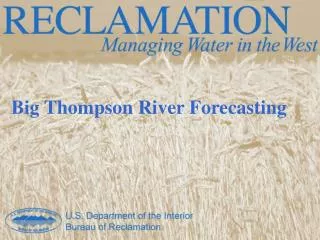
Operational Evaluation of VIIRS Satellite Products for River Forecasting. Mike DeWeese Development and Operations Hydrologist North Central River Forecast Center May 13, 2014. North Central River Forecast Center. Operational Test Schedule.

E N D
Operational Evaluation of VIIRS Satellite Products for River Forecasting Mike DeWeese Development and Operations Hydrologist North Central River Forecast Center May 13, 2014
Operational Test Schedule • Began planning in January for operational test at NCRFC and Alaska Pacific River Forecast Center (APRFC). • Goal – to determine value in operational river forecasting process. • 2 phase Operational implementation began in March. • 1st phase: establish data ingest in Awips2 from SSEC • 2nd phase: routine evaluation in operational setting
VIIRS Products Evaluated • River Ice Product • Developed by City College of New York • Tested on Mississippi River • River Areal Flood Extent Product • Developed by George Mason University • Tested over entire River Forecast Center (RFC) domain • Awips2 data feed via Cooperative Institute for Meteorological Satellite Studies (CIMMS)
Operational Evaluation • Forecast staff reviewed products in Cave D2D perspective • Subjective daily evaluation for accuracy and added value • Primarily used as additional Situational Awareness tool • Information is used to “balance” river forecast model
CCNY River IceMississippi River East Central Iowa North East Missouri Open water detected below dam Awips2 display Google RealEarth display
River Ice Product • Limited to very wide river channels due to 380 meter resolution. • Product is limited by thin cloud cover, no clear sky images were received during test period. • Has not proved effective for operational use at NCRFC thus far.
GMU Areal Flood ExtentRed River of the North Areas of Flood Inundation Active Snow Melt Region
Areal Flood ExtentEagle AK: 05-01 vs 05-14Ice vs No Ice detection appears excellent
Areal Flood Extent Product • Minor flooding in Red River and APRFC limited use for inundation monitoring this year. • Additional benefits quickly recognized in monitoring extent of snow cover and levee breaches. • Proved useful for delineating areas of active snowmelt at multiple basin scales. • Incorrect typing of shallow snow cover as cloud cover did not prove problematic for operational use.
Areal Flood Extent Results • Problems remain classifying some grids with standing water as land. • Alaska RFC identified problems at high latitudes in early morning and evening products. • Both RFCs identified significant value and future potential for river forecasting applications.
General Conclusions • Color coded products with overlays are easily interpreted by forecasters. • Current beneficial value for situational awareness. • Potential value for future high resolution data use in model algorithms – both snow and hydraulic river models. • Cloud cover and satellite schedule restricts operational availability.
Thank You For Your Attention! mike.deweese@noaa.gov