Download

1 / 7
80 likes | 226 Vues
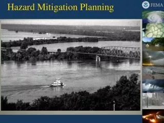
Utilizing Mapping and Modeling in Hazard Mitigation Planning and Land Use. Hazard Mitigation. Reducing risks to people and property from natural and technological disasters. Recognizing and adapting to hazards , increasing the resilience , and decreasing the vulnerability.

E N D
Utilizing Mapping and Modeling in Hazard Mitigation Planning and Land Use Session 14: Utilizing Mapping and Modeling in Hazard Mitigation Planning and Land Use
Hazard Mitigation • Reducing risks to people and property from natural and technological disasters. • Recognizing and adapting to hazards, increasing the resilience, and decreasing the vulnerability Session 14: Utilizing Mapping and Modeling in Hazard Mitigation Planning and Land Use
Maps and Modeling are one source of information in which to base decisions FEMA Flood Insurance Rate Map Session 14: Utilizing Mapping and Modeling in Hazard Mitigation Planning and Land Use
Question for the Class: Note the following points from the New Orleans FIRM as see in Figure 14.1 (FEMA firm2252030115E). • What is the date of the publication of the FIRM? • The FIRM shows flood zones for areas of the City of New Orleans? Are there some areas of the City on high ground and not in the flood zone? • The FIRM is based on some assumptions that influence the description of flood hazards in New Orleans. Given what happened in Hurricane Katrina, do you think that the FIRM was based on the assumption that flooding would result from storm surge and not levee breaches or that the pumping system in the City will not fail? • Ask the class to explain how the FEMA FIRM fits within hazard mitigation. Session 14: Utilizing Mapping and Modeling in Hazard Mitigation Planning and Land Use
Question: How do we use a FIRM in the hazard mitigation process? What are the limitations of a FIRM? How can local communities overcome these limitations? Session 14: Utilizing Mapping and Modeling in Hazard Mitigation Planning and Land Use
Hazard Mitigation Strategies • Avoidance of hazards areas • Land use planning and regulation • Flood insurance program (FIP) • Relocation of homes & businesses • Resilience of the built environment • Building codes • Hurricane straps • Strengthen critical infrastructure • Strengthen bridges, buildings, utilities Session 14: Utilizing Mapping and Modeling in Hazard Mitigation Planning and Land Use
Goals of Hazard Mitigation • Focus on the long term • Support social, economic, and environmental benefits Session 14: Utilizing Mapping and Modeling in Hazard Mitigation Planning and Land Use