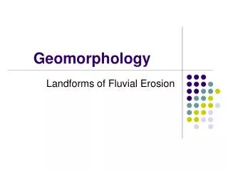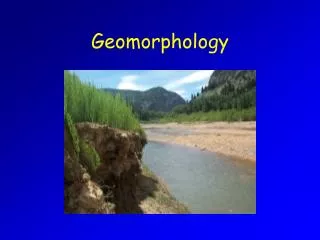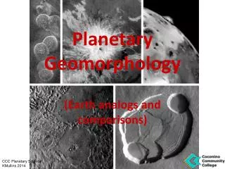
Geomorphology
Geomorphology. Mr. Skirbst Earth Science Topic 27. Geomorphology. Geo – earth. Geomorphology. Geo – earth Morph – form. Geomorphology. Geo – earth Morph – form Geomorphology – “earth forms” or “landforms”. Geomorphology. Topography. Geomorphology. Topography

Geomorphology
E N D
Presentation Transcript
Geomorphology Mr. Skirbst Earth Science Topic 27
Geomorphology Geo – earth
Geomorphology Geo – earth Morph – form
Geomorphology Geo – earth Morph – form Geomorphology – “earth forms” or “landforms”
Geomorphology Topography
Geomorphology Topography the shape of Earth’s surface
Geomorphology Topography the shape of Earth’s surface it’s determined by landforms
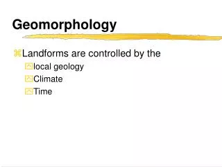
Geomorphology 3 Main Landform Types:
Geomorphology 3 Main Landform Types: • Mountain – high elevations
Geomorphology 3 Main Landform Types: • Mountain – high elevations • Plain – flat, close to sealevel
Geomorphology 3 Main Landform Types: • Mountain – high elevations • Plain – flat, close to sealevel • Plateau – flat, high elevation
Maps Meridian (longitude)
Maps Meridian (longitude) lines from North to South poles
Maps Meridian (longitude) lines from North to South poles measure distances East / West
Maps Meridian (longitude) lines from North to South poles measure distances East / West measured in 180o from Prime
Maps Meridian (longitude) lines from North to South poles measure distances East / West measured in 180o from Prime measured as E or W longitude
Maps Parallel (latitude)
Maps Parallel (latitude) lines parallel to Equator
Maps Parallel (latitude) lines parallel to Equator measures distance North/South
Maps Parallel (latitude) lines parallel to Equator measures distance North/South measured from 0 to 90o
Maps Parallel (latitude) lines parallel to Equator measures distance North/South measured from 0 to 90o measured as North/South latitude
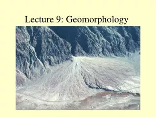
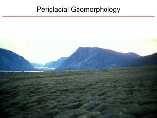
Topographic Maps Show the relief of the land
Topographic Maps Show the relief of the land Relief (topography) shown with contour lines
Topographic Maps Show the relief of the land Relief (topography) shown with contour lines Contour lines – lines of equal elevation
Local Landforms Rivers, streams, drainage areas
Local Landforms Rivers, streams, drainage areas Mountains, hills, mounds
Local Landforms Rivers, streams, drainage areas Mountains, hills, mounds Valleys, depressions, quarries
Local Landforms Rivers, streams, drainage areas Mountains, hills, mounds Valleys, depressions, quarries Ponds, swamps
Local Landforms Rivers, streams, drainage areas Mountains, hills, mounds Valleys, depressions, quarries Ponds, swamps, wetlands Flood plains, steep slopes
Interpreting Topographic Maps Basic Rules: Contour lines ….. • … never cross
Interpreting Topographic Maps Basic Rules: Contour lines ….. • … never cross • … close together = steep slope
Interpreting Topographic Maps Basic Rules: Contour lines ….. • … never cross • … close together = steep slope • … far apart = gentle slope
Interpreting Topographic Maps Basic Rules: Contour lines ….. • … never cross • … close together = steep slope • … far apart = gentle slope • … form loops around hills / holes
Interpreting Topographic Maps Basic Rules: Contour lines ….. • … never cross • … close together = steep slope • … far apart = gentle slope • … form loops around hills / holes • … form “V’s” in valleys and point upstream (or uphill)