How Maps Enhance Our Understanding of the World
80 likes | 214 Vues
Maps are essential tools that help us explore and understand various aspects of our world. They provide insight into physical geography, displaying features such as mountains, lakes, and deserts. Political maps highlight man-made boundaries and borders. As an archaeologist, I recover artifacts that reveal how people lived in the past, while primary sources offer invaluable information about historical events. This guide explores the different types of maps, essential map interpretation skills, and how to pose questions to enrich our knowledge of global geography.

How Maps Enhance Our Understanding of the World
E N D
Presentation Transcript
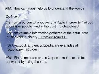
AIM: How can maps help us to understand the world? Do Now: (1) I am a person who recovers artifacts in order to find out about how people lived in the past __________________ archaeologist (2) I am valuable information gathered at the actual time of an event in history ________________ Primary sources (3) A textbook and encyclopedia are examples of __________ sources. secondary HW: Find a map and create 3 questions that could be answered by using the map.
Identify the largest pieces of the world: C 1 4 7 B A 2 1= Asia 2= Africa D 6 3= Antarctica 5 4= North America A= Atlantic Ocean 5= South America B= Pacific Ocean 6=Australia C= Arctic Ocean 7= Europe D= Indian Ocean 3
*NOTES* What does this map illustrate? Physical map- shows geographic features such as mountains, lakes, deserts etc. (mother nature)
*NOTES* What does this map illustrate? Political map- shows boundaries/borders of countries (man-made)
*NOTES* INTERPRETING MAPS 1. KEY / LEGEND - gives important information that helps to understand the map. (Ex. * represents capital city) 2. EQUATOR- 0 degree imaginary line of latitude that separates the world into a northern and southern hemisphere 3. PRIME MERIDIAN- 0 degree imaginary line of longitude that separates the world into a eastern and western hemisphere