Download
1 / 18
220 likes | 1.46k Vues
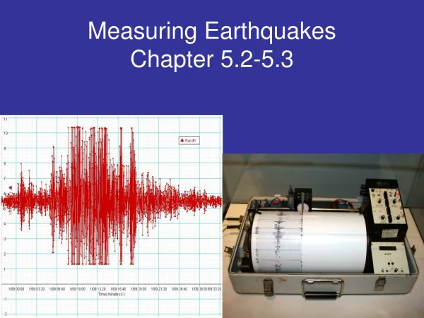
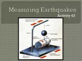
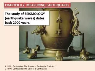
Measuring Earthquakes. Chapter 8, Section 2. Seismographs. Seismographs – instruments that record earthquake waves

E N D
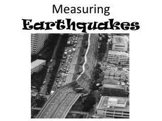
Measuring Earthquakes Chapter 8, Section 2
Seismographs • Seismographs – instruments that record earthquake waves • When waves from an earthquake come into contact with a seismograph, a weight suspended from a support will remain motionless as Earth moves (providing a reference point) and can draw a diagram showing Earth’s motion • Seismograms – the electronically recorded ground motion from a seismograph
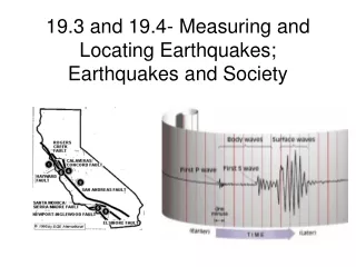
Earthquake Waves • Surface Waves – seismic waves that travel along Earth’s surface, most destructive seismic waves • Surface waves travel along the ground and cause the ground and anything resting upon it to move • P waves – push-pull waves; they push (compress) and pull (expand) rocks in the direction the waves travel • S waves – shake the particles at right angles to their direction of travel • Gases and liquids do not transmit s waves, but do transmit p waves • A seismogram shows all three types of waves: the p waves arrive first, then the s waves, followed by the surface waves last • The waves arrive at different times because they travel at different speeds
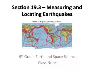
Locating an Earthquake • We can determine the distance to an epicenter by finding the difference between the arrival of p waves and s waves , then looking at a travel-time graph we can determine how far away the epicenter is • Travel-time graphs from three or more seismographs can be used to find the exact location of an earthquake epicenter • About 95% of earthquakes occur in a few narrow zones, and most of these occur around the Pacific Ocean
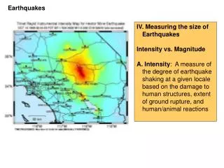
Measuring Earthquakes • Historically, scientists have used two different types of measurements to describe the size of an earthquake – intensity and magnitude • Richter Scale – outdated scale for measuring the magnitude of earthquakes, uses amplitude of the largest seismic wave and uses a logarithmic scale (ten times increase for every increase of 1 on the scale) • Moment Magnitude – derived from the amount of displacement that occurs along a fault zone (surface area of fault) x (avg. displacement along fault) x (rigidity of rock) • Moment magnitude is the most widely used measurement for earthquakes because it is the only magnitude scale that estimates the energy released by earthquakes
Modified Mercalli Scale • Modified Mercalli Scale – rates an earthquake’s intensity in terms of the earthquake’s effects at different locations • It has 12 steps, expressed as roman numerals • An earthquake that can barely be felt is rated as a I • An earthquake that causes near total damage is rated as a XII • The same earthquake can be given different ratings at different locations
Assignment • Read Chapter 8, Section 2 (pg. 222-228) • Do 8.2 Assessment #1-6 (pg. 228)