Download
1 / 17
170 likes | 440 Vues
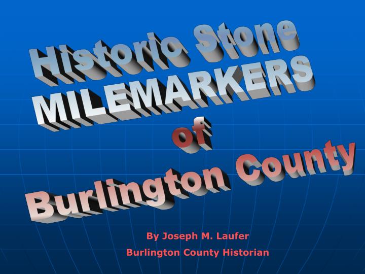
Historic Stone MILEMARKERS of Burlington County. By Joseph M. Laufer Burlington County Historian. Burlington County’s 11 Historic Stone Mile Markers. a. a. Crosswicks b. Springfield c. Mount Holly 1. Vincentown 2. Lumberton 3. Lumberton 4. Mt. Laurel 5. Moorestown

E N D
Historic Stone MILEMARKERS of Burlington County By Joseph M. Laufer Burlington County Historian
Burlington County’s 11 Historic Stone Mile Markers a a. Crosswicks b. Springfield c. Mount Holly 1. Vincentown 2. Lumberton 3. Lumberton 4. Mt. Laurel 5. Moorestown 6. Moorestown 7. Maple Shade 8. Maple Shade b c 6 5 8 7 4 3 2 1 16 miles from #1 Vincentown to # 8, the Maple Shade border at Pennsauken Creek.
Burlington County Turnpike Companies(Legislatively Incorporated) • Hainesport, Lumberton and Vincentown Turnpike Co. Incorporated in 1853 • Toll Road along Landing St., to Chestnut St./Hainesport Lumberton Road to Hainesport • Mount Holly, Lumberton and Medford Turnpike Co. Incorporated in 1854 • Toll Road along County Route 541 • Moorestown and Camden Turnpike Co. Incorporated 28 February, 1849 • Toll Road along Federal St./Maple Ave./Camden Ave. to the Forks in Moorestown. • Mount Holly and Moorestown Turnpike Co. Incorporated 25 March, 1852 • Extended the improved road surface up to present-day 537 to Mount Holly. Information courtesy of Paul W. Schopp
1 6 miles to Haineport Vincentown – Intersection of Red Lion Rd. (641) & Mill St. (616)
2 M 3 3 miles to Hainesport 3 miles to Vincentown Lumberton – E. Landing Road (641) looking towards Vincentown (approaching Municipal Drive in Lumberton)
M 4 Lumberton: Chestnut St. (Rt. 641), at corner of Morris St.
M 4 3 2 miles to Hainesport 4 miles to Vincentown Lumberton: Chestnut St. (641), at corner of Morris St.
4 M 8 4 miles to Moorestown 4 miles to Mt. Holly Mt. Laurel: Marne Highway (537) near corner of Larchmont Av.
5 M 12 8 miles to Mt. Holly 10 miles to Camden Moorestown: E. Main St. (537) intersection of Mt. Laurel Rd. (603)
M 13 6 9 miles to Camden Moorestown: Corner of W.Main St., Camden Av. (537) & Kings Hwy (611)
7 M 15 7 miles to Camden 2 miles to Moorestown Maple Shade: E. Main St. (Rt. 537) corner of Mt. Holly Av. after Pine St.
8 M 16 3 miles to Moorestown 6 miles to Camden Maple Shade: W. Main St. (Rt. 537) Between Coles Av. & Woodcrest St.
a Rt. 528 (Bordentown-Crosswicks Rd. at Fenton Lane) 2 M to B – 2M to C (Bordentown – Crosswicks) (Coordinates courtesy of Fr. Mike Burns, St. Mary’s RC Church, Bordentown)
b 5 M to MH Located in front of the Springfield Township Municipal Building Rt. 670, Jacksonville-Jobstown Road
c 6 M to V (Vincentown) Photo courtesy of Jack Megill Located on Mt. Holly – Smithville Rd. near Top E. Toy St. and Sunset Drive, near 7/11 at corner of Branch Street.
Burlington County’s 11 Historic Stone Mile Markers a a. Crosswicks b. Springfield c. Mount Holly 1. Vincentown 2. Lumberton 3. Lumberton 4. Mt. Laurel 5. Moorestown 6. Moorestown 7. Maple Shade 8. Maple Shade b c 6 5 8 7 4 3 2 1 16 miles from #1 Vincentown to # 8, the Maple Shade border at Pennsauken Creek.