Download
1 / 11
110 likes | 134 Vues
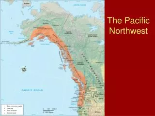
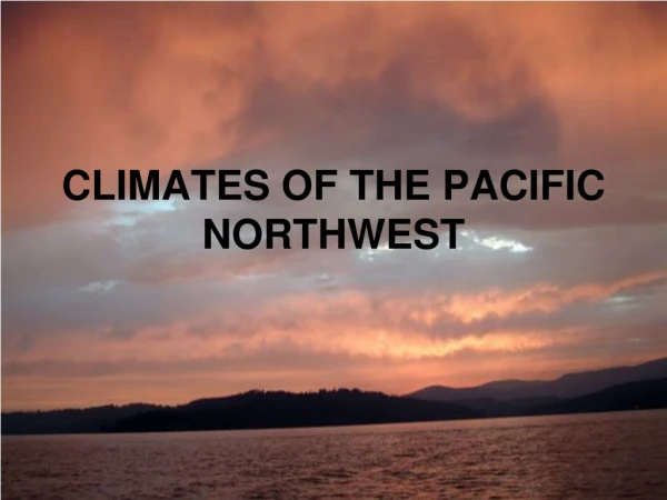
Explore the diverse climates of the Pacific Northwest region, from general impressions of early settlers to the climatic elements shaping precipitation patterns. Understand the unique influences of the Pacific Ocean, North American continent, and surface topography in creating local climate variations. Learn about the significant role of winds, pressure systems, temperature patterns, and precipitation dynamics in this captivating region. Discover the mesoscale circulations that influence the battle between continental and marine air masses, creating distinctive climatic phenomena.

E N D
Is there something that all Pacific Northwest climates have in common? • general impressions of early “settlers”: • dry summers, wetter winters?
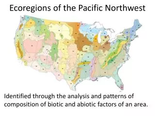
General PNW Climate Controls • mid-latitude west coast location, compared with others globally: among the driest summers • Pacific Ocean influences: source of moisture, moderates temperature • North American continent influences: contributes to extremes in temps. and dry air masses • role of surface topography: N-S mountains play key role • surface topography and situation in relation to above factors make for local variations in climates
Climatic Elements • General Winds and Pressure: (see Atlas) Pacific High – dominant in summer (dry); Westerlies & mid-latitute cyclones in winter (wet, low pressure) 2. Temperature: general patterns N to S differences slight, E-W differences large (summer highs: E-W dif ~20°F, N-S 10°F) (winter lows: E-W diff ~25°F, N-S 10°F) example: Brookings (coast) Jan mean 48°, July 59° Rome (SE OR): 29° and 72°
PNW Temp (con’t.) • monthly max reached in interior in July • mean for daily maximum temps. reached on north coast in Aug and south coast in Sept.
PNW Precipitation • lifting necessary for precipitation: rising air cools and may reach its dewpoint → condensation → precipitation 3 ways that the atmosphere is lifted • frontal/mid latitude cyclones (low pressure), (peak effect in winter) • orographic/topographic (no seasonality per se) coastal hills: 1” annual precip. increase for each 50’ rise • convective (mostly May through Oct heating, peaking in summer) affects interior areas most (often thunderstorms) Also, remember that moisture is necessary for precipitation. moisture sources: __________ and __________ • e interaction of the previous three factors shapes the geographic & temporal variation in precipitation (handout)
PNW Precipitation (cont) • general temporal pattern: winter wet, summer dry. Winter is dominated by mid-latitude cyclones, summer by high pressure (particularly in S. part) • Summer dryness is more prominent in the south. Mid latitude cyclones bring some precip. to areas more in the north, while the Pacific High supresses precipitation in the south (particularly areas close to the coast). • Interior areas experience about as much precip. in summer as coastal areas in S. part of region, but summer precip. makes up a larger part of the annual total in interior than coastal areas. • See precipitation graph handouts
Juneau, AK in September, near the rainiest time of year (October: 8.3”)
Mesoscale Circulations & Climates • Background: the battle between continental and marine air masses is mediated by topography. • Special cases: • Sea breeze systems and Pacific marine air intrusions of summer • Continental polar air outbreaks and related storms of fall & winter • Brookings banana belt • Blue Mtns. compressional heating