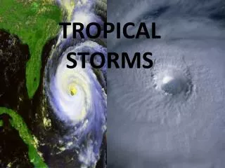
Tropical Severe Local Storms
Tropical Severe Local Storms. Nicole Hartford. How do thunderstorms form?. Thunderstorms result from moist warm air that rises due to being less dense than the surrounding air (convection).

Tropical Severe Local Storms
E N D
Presentation Transcript
Tropical Severe Local Storms Nicole Hartford
How do thunderstorms form? • Thunderstorms result from moist warm air that rises due to being less dense than the surrounding air (convection). • The moisture comes from large bodies of water, surface moisture from previous storms, evaporation from moist soils, and evapotranspiration from vegetation.
Lifted Index • We measure the potential for a thunderstorm using lifted index (LI). The LI is the difference between the observed temperature at 500 hPa and the temperature of a parcel lifted adiabatically from near the surface to 500 hPa. As the atmosphere becomes more stable, the LI is more negative.
Convective Available Potential Energy • We also measure the potential for thunderstorms using convective available potential energy (CAPE). CAPE measures the amount of buoyant energy available to a parcel moving upward. • CAPE values for the tropics are typically much lower than in the midlatitudes.
Cape is a positive area between the Level of Free Convection (LFC) and the Equilibirum Level (EL). Larger CAPE means higher potential for strong or severe thunderstorms.
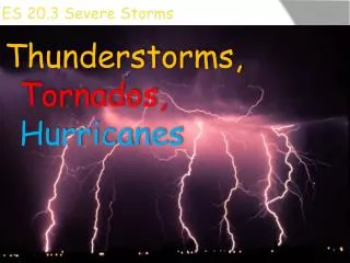
To be considered severe, a thunderstorm must produce tornadoes, winds greater than 50 knots, or hail greater than one inch in diameter.
Stages of a Storm • There are three stages to a single cell thunderstorm. • Cumulus: single updraft of air that is warmer and less dense than the surrounding environment. Characterized by towering cumulus, moisture convergence in the boundary layer, and upward motion. • Mature: falling raindrops create a downdraft that mixer with drier air in the troposphere and leads to strong evaporative cooling. • Dissipating: the downdraft cuts off the supply of moist rising air and the storm decays
Lightning • Lightning formation requires the separation of electrical charge in the atmosphere. Both ice and water need to be present inside a cloud to generate sufficient electric charge. • Lightning occurs within clouds, between clouds, from clouds to clear air, and from cloud to surface.
Lightning is more frequent in the tropics than at higher latitudes.
Multicellular Storms • Develops when new cells form along the gust fronts of existing cells. • Multicellular storms are groups of ordinary thunderstorms at varying stages, so the outflow can combine into a large gust front. There is convergence in the direction of storm motion, and the updraft is separated from the downdraft. This cycle makes it possible for the storms to last for several hours.
Supercell Thunderstorms • Supercell thunderstorms are rare in the tropics. • They form in strongly sheared environment where the thunderstorm updraft tilts the horizontal vorticity upward to form a rotating updraft. • In the tropics, extratropical intrusions must cause the meeting of dry, strong westerlies from the poles and hot, moist tropical air masses. • Strong shear and high CAPE are good indicators of the potential for supercells.
Mesocyclones • Supercells are marked by a rotating updraft known as a mesocyclone. • They are usually 2-10 km wide and 3km deep. • Mesocyclones create the potential for tornado formation and leads to overshooting tops.
Mesocyclones are identified in radar mass reflectivity images by a “hook echo”.
Dust Devils Dust devils are small vertical vortices that form in the convective boundary layer during daytime when the surface is strongly heated and the surface wind is weak. They are visible because of the dust and debris that is carried upward by the vortex. They occur under a clear sky or a layer of fair weather cumulus and often appear in groups.
Waterspouts • A waterspout is a tornado over water and is generally much weaker than the average tornado. • They tend to form beneath rapidly growing cumulus congestus clouds and when cool air moves over warm water. • In the midlatitudes, waterspouts occur during cold air outbreaks over the Great Lakes and other large water bodies that have relatively warm water.