Download
1 / 36
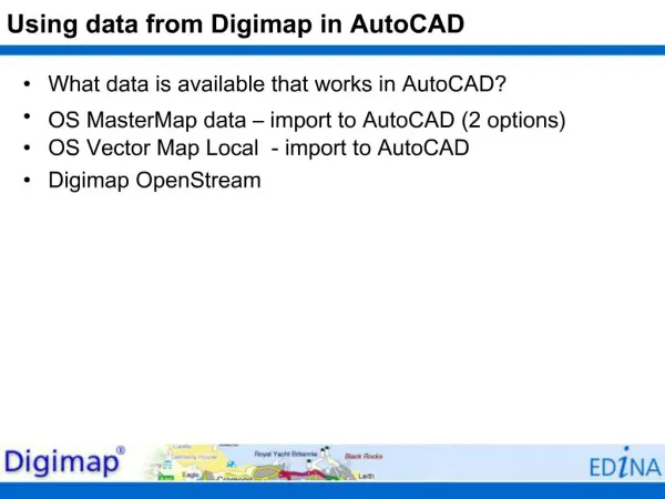
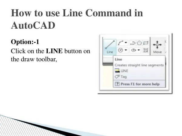
Using data from Digimap in AutoCAD
360 likes | 461 Vues
Learn how to efficiently incorporate detailed Digimap data into your AutoCAD projects to create high-quality maps and designs. This guide provides step-by-step instructions on importing, manipulating, and utilizing geographic information from Digimap within AutoCAD. Enhance your mapping capabilities and streamline your workflow with this comprehensive tutorial.
Télécharger la présentation 
Using data from Digimap in AutoCAD
An Image/Link below is provided (as is) to download presentation
Download Policy: Content on the Website is provided to you AS IS for your information and personal use and may not be sold / licensed / shared on other websites without getting consent from its author.
Content is provided to you AS IS for your information and personal use only.
Download presentation by click this link.
While downloading, if for some reason you are not able to download a presentation, the publisher may have deleted the file from their server.
During download, if you can't get a presentation, the file might be deleted by the publisher.
E N D
Presentation Transcript


More Related