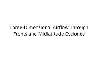
Midlatitude Cyclones
80 likes | 99 Vues
Midlatitude cyclones and polar jet streams play critical roles in Earth's atmospheric dynamics, influencing temperature gradients, pressure systems, and weather patterns. Explore how these phenomena create surface highs and lows, induce convergence and divergence, and transport energy through the middle latitudes.

Midlatitude Cyclones
E N D
Presentation Transcript
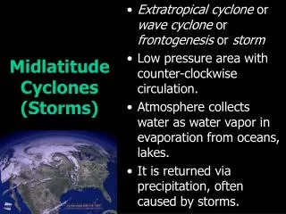
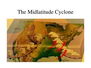
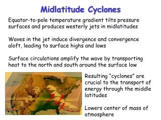
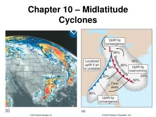
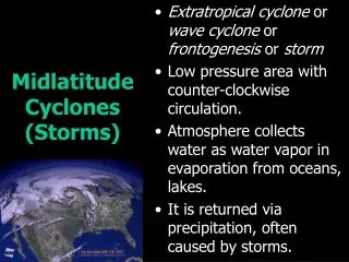
Midlatitude Cyclones Equator-to-pole temperature gradient tilts pressure surfaces and produces westerly jets in midlatitudes Waves in the jet induce divergence and convergence aloft, leading to surface highs and lows Surface circulations amplify the wave by transporting heat to the north and south around the surface low Resulting “cyclones” are crucial to the transport of energy through the middle latitudes Lowers center of mass of atmosphere
Large-Scale Setting Very cold (and dark!) near the pole Polar air is dense and “shrinks” to form a hollow bowl Warmer air moving into bowl spins into a big jet stream Jet wobbles in 4-6 “long waves
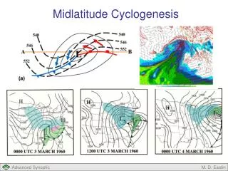
Low High Convergence and Divergence What initiates “cyclogenesis?” When upper-level divergence is stronger than lower-level convergence, more air is taken out at the top than is brought in at the bottom. Surface pressure drops, and the low intensifies, or “deepens.” 500 mb height
Divergence, Spin, and Tilt • Maximum upper level convergence and divergence are between ridges and troughs • Phase of developing wave “tilts” to the west with height
Before the Storm • Vertical cross-section looking North • Imagine a jet-stream wiggle passes overhead • Where will surface low develop? High Low DIV east
Birth of a Storm • Surface winds respond to surface pressure gradient … transport cold air southward behind the low and warm air northward ahead of low • This amplifies the upper level trough and ridge • Enhances upper-level divergence High High Low Low DIV DIV warm cool Low east
How to “Grow” a Storm • Upper level shortwave passes • Upper level divergence-> sfc low • Cold advection throughout lower troposphere • Cold advection intensifies upper low • Leads to more upper level divergence Temperature advection is key!