Download
1 / 18
180 likes | 313 Vues
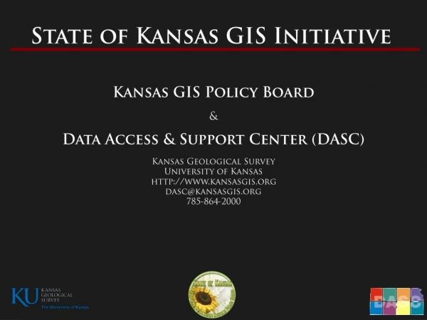
The State of Kansas Data Access and Support Center (DASC). Data Access & Support Center DASC. Established by the Kansas GIS Policy Board in 1991 Central repository of GIS databases of statewide/regional importance

E N D
The State of Kansas Data Access and Support Center (DASC)
Data Access & Support Center DASC • Established by the Kansas GIS Policy Board in 1991 • Central repository of GIS databases of statewide/regional importance • Designated as an National Spatial Data Infrastructure (NSDI) clearinghouse node in 1997 • Located at the Kansas Geological Survey at the University of Kansas • Web site – http://www.kansasgis.org
DASC Services • Database archival and distribution • Database quality assurance/quality control (QA/QC) • Technical assistance • Geospatial metadata development assistance • Web application development and hosting • Database development & integration • State & Local Government Coordination • Cartographic development • Promotion of the Kansas GIS Initiative • Development and maintenance of the • DASC web site – www.kansasgis.org
Catalog – Resource for finding and downloading GIS data Community – GIS Resources, Online Docs, Site Members, etc GIS Resources – Definitions, Map Projections, Special Projects information (LiDAR) Web Services – DASC supported Web sites, Online Services Initiatives – Information about various State GIS Projects
Regional HS GIS Projects • 6 HS regions in Kansas + MARC (KC metro area); Projects coordinated through Kansas Adjutant General’s Dept. • Project funding from Regional Homeland Security Councils • Part of larger strategy to coordinate GIS efforts across KS • Goal – create a critical information network that will aide in timely response to any emergency event • Identify local government data stewards • Encourage local-regional-state GIS collaboration
Inventory • “get local data catalogued and archived” • Tool used to support Kansas Homeland Security Regional GIS projects • Web based tool created by • NSGIC (National States Geographic Information Council) • Identifies critical and secondary data before emergency occurs • Answers question “Who has what?”
Local Gov’t Off-Site GIS Data Backup • Data backed up at DASC • Each county/city password protected data with secure FTP access • County/City responsible for data updates and maintenance • Data is regularly synched with the Adjutant General’s Dept • No charge for backup service – FREE
DASC Local Data Integration Initiatives Kansas Road Centerline Database Collaborative project with KDOT, FHSU, and DASC Use local road centerline data to update and enhance the KDOT All-Roads Database – Non-State System Greatly increases location accuracy Statewide Tax Unit Database Created statewide GIS Tax Unit file by working with County Clerks during 2010 2011 Certification – data released & available for download from DASC website - March, 2011 Tax units form the building blocks of over 30 different type of local administrative boundaries
Contact Information Eileen Battles Data Access & Support Center (DASC) 785-864-2289 battles@kgs.ku.edu