Download
1 / 16
160 likes | 288 Vues
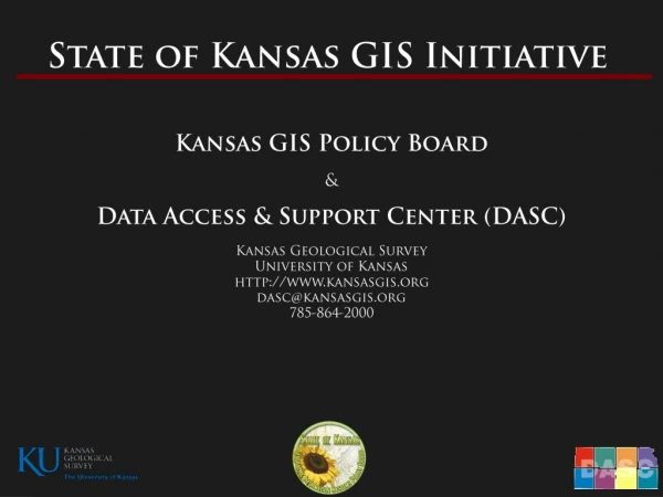
The State of Kansas Data Access and Support Center (DASC). Data Access & Support Center DASC. Established by the GIS Policy Board in 1991 Central repository of GIS databases of statewide/regional importance

E N D
The State of Kansas Data Access and Support Center (DASC)
Data Access & Support Center DASC • Established by the GIS Policy Board in 1991 • Central repository of GIS databases of statewide/regional importance • Designated as an National Spatial Data Infrastructure (NSDI) clearinghouse node in 1997 • Located at the Kansas Geological Survey at the University of Kansas • Web site – http://www.kansasgis.org
DASC Services • Database archival and distribution • Database quality assurance/quality control (QA/QC) • Technical assistance • Geospatial metadata development assistance • Web application development and hosting • Database development & integration • State & Local Government Coordination • Cartographic development • Promotion of the Kansas GIS Initiative • Development and maintenance of the DASC web site – www.kansasgis.org
Inventory • “get local data catalogued and archived” • National effort spearheaded by NSGIC (National States Geographic Information Council) – State of Kansas Initiative • Inventory helps assess what you need to back up • Identifies critical and secondary data before emergency occurs • Answers question “Who has what?” • Web-based tool to enter inventory
Inventory • All 18 counties visited by Team • SW Region HLS Support Team • Jessica Frye • Eileen Battles • Ken Nelson • Ingrid Landgraf
Inventory Issues: Not all data inventoried for each county (yet) Different data in different county departments Waiting for data from vendor for inventory Clark, Gray, Greeley, Hodgeman, Lane, Meade, Scott May need to contact multiple vendors (E911, parcel, on-line mapping, …)
Off-Site Backup • Data housed at DASC and backed up 3 ways: • 1 – Redundant Storage Area Network (SAN) • 2 –On-site external hard drive • 3 – DASC backup system hosted at the Arkansas Geographic Information Office (AGIO) • Password protected data with secure FTP access for each county/city • Data is regularly shared with the Adjutant General’s Departmentfor use in emergency management and homeland security activities • Local government GIS data will NOT be publicly distributed unless requested by data originator! • No charge for backup service • No metadata required for data backup (although it is encouraged!)
Off-Site Backup Maintenance: User Accounts: unique user names and passwords ftp://backup.kansasgis.org Email reminders to update data Download and install free FTP Utility to transfer data (FileZilla) Maintenance Guidelines & Tips handout and maintenance instructions available on DASC website WWW.KANSASGIS.ORG
DASC Local Data Integration Initiatives Kansas Road Centerline Database Collaborative project with KDOT, FHSU, and DASC Use local road centerline data to update and enhance the KDOT All-Roads Database – Non-State System Statewide Tax Unit Database Working with KDOR/PVD and county clerks across the state to update and maintain the current version of the database; We currently have participation from 50 counties; Tax units form the building blocks of over 30 different type of local administrative boundaries 2010 U.S. Census Voting Districts Update Collaborative project with the Kansas Legislative Research Division (KLRD), Secretary of State’s Office (SOS), US Census Bureau, and DASC Update the Voting Districts at the county level as part of the US Census Bureau’s redistricting program