Download
1 / 9
90 likes | 224 Vues
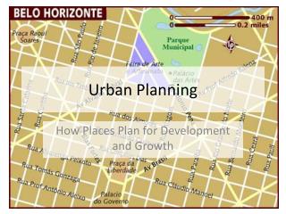
Terrestrial Laser Scan Applications in Urban Planning Khaled Nabbout (PhD) FARO Europe. Introduction Why Terrestrial Laser Scan Urban Planning Applications Summary & Outlook. Introduction What is Terrestrial Laser Scan Why Terrestrial Laser Scan

E N D
Terrestrial Laser Scan Applications in Urban Planning Khaled Nabbout (PhD) FARO Europe
Introduction • Why Terrestrial Laser Scan • Urban Planning Applications • Summary & Outlook
Introduction What is Terrestrial Laser Scan Why Terrestrial Laser Scan How Terrestrial Scan can be applied in Urban Planning
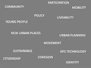
Motivation: • Increasing in the request for 3D digital city model • Need for more precise and real 3D model • The demand for more detailed and realistic models to improve participatory in Urban Planning
Urban Planning Applications Data capturing: By Manually or Road Scanning Source: FARO 2008
Urban Planning Applications (Cont.) Data Processing:
Urban Planning Applications (Cont.) Visualisation: Video
Summary & Outlook • Terrestrial Laser scan can play an important role in Urban Planning • The outcome result of different projects show the suitability of the Terrestrial LS in Urban Planning • The demand for detailed 3D city models can be only done through Terrestrial LS • The Urban Planner should consider the new Terrestrial LS applications specially from the visualisation side
Thank you very much Dr. –Eng. Khaled El Nabbout Khaled.el-nabbout@faroeurope.com