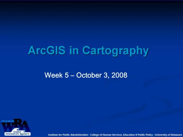
ArcGIS in Cartography
210 likes | 472 Vues
Goals. Different methods for representing dataData View and Layout ViewSymbologyLabelingMap Layout TricksData FramesDynamic Links

ArcGIS in Cartography
E N D
Presentation Transcript
1. ArcGIS in Cartography Week 5 � October 3, 2008
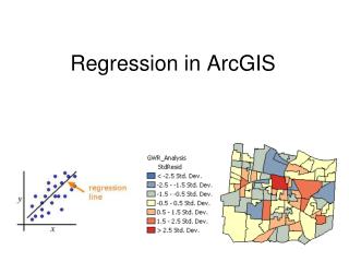
2. Goals Different methods for representing data
Data View and Layout View
Symbology
Labeling
Map Layout Tricks
Data Frames
Dynamic Links � eye dropper tool
Printing and Exporting Options
3. Questions to ask Who is your intended audience?
What is the message or story you are portraying? Determine the purpose
Is the data available? Data Collection
What is the final product? Map Construction
8.5 x 11 publication
ANSI E printed map publication
Black and white verses color
4. Communication Objectives Emphasizing key information De-emphasize other information Creating Visual Balance Inappropriate use of design principals can misrepresent your data turn the audience�s focus elsewhere