Download
1 / 18
180 likes | 236 Vues
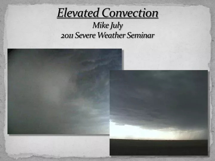
Elevated Convection Mike July 2011 Severe Weather Seminar. Elevated vs Overrunning.

E N D
Elevated vs Overrunning Colman – first coined the term “elevated” in 1990. His research found that forcing for these storms does not typically come from convectively unstable air ascending a sloped surface (implying overruning). • Occur above frontal zones and are isolated from diabatic effects • Assumed air above the frontal surface has previously existed as a surface boundary
Colman Composite • AHN • Occurs northeast of a surface low • North of a surface warm front • Northeasterly surface winds • PBL is generally stable • Usually found in the left exit region of a low-level wind maxima • Strong low-level veering of winds/large vertical wind shear • Region of warm air advection (another convert ) • Frequently without CAPE • Most likely the product of frontogenetical forcing
Elevated Convection vs ACCAS Corfidi, et al. 2008 – convection where air parcels originate from a moist absolutely unstable layer above the PBL. Can produce severe hail, damaging surface wind and excessive rainfall well removed from surface-based instability. Frequently located near (north of) a warm or stationary front. Not synonymous with accas as these clouds can also arise from surface-based convection. These storms evolved into supercells which produced a tornado in northwest MO (25 June 1994)
Transition Events Surface heating greatly reduced CIN . Storms became surface-based in the afternoon.
Classic Warm Air Advection Cells line up parallel to isentropic surfaces north of a warm or stationary front. Strong warm air advection near fronts sometimes results in regularly spaced storms parallel to the isentropic surfaces. Factors governing this spacing is not currently understood.
Conceptual Cross Section Composite Moore, et al • Elevated MCS ~100 miles north of front • ssw LLJ transports high-θe air northward along and above cool stable layer • swly mid trop flow advects lower-θe air over the warm moist high-θe air resulting in a layer of elevated convective instability • Large –scale isentropic ascent (suggested by the lower –tropospheric warm air advection and frontogenesis within the entrance region of the ULJ) aids in lifting the layer to saturation
Key Composite Low-level Features/Parameters • MCS centroid • Max thetae advection • East-west quasi-stationary front • South-southwesterly LLJ directed nearly normal to the boundary • Moisture convergence within the left exit region of the LLJ helps to initiate deep convection in the unstable layer along or above the frontal zone . • Maximum θe advection nearly centered over the MCS centroid • Mstr convergence • maxima • θe Moore, et al
Key Composite Mid-level Features Moore, et al • Broad southwesterly mid tropospheric flow • Moderately high mean surface-500 mb RH • MCS forms under the right entrance region of the ULJ
1202 UTC Elevated Supercell with Damaging WindMarch 12, 2006 (Thompson et al) • Lower 50s surface temperatures near storm • Supercell moving into a region of surface temperatures in the mid 40s with dewpoints in the upper 30s
1503 UTC • Widespread wind damage with winds to 78 knots in Lawrence and baseball size hail in Lawrence and Kansas City
14 – 15 UTC 1413 UTC Lawrence
Elevated Supercell with Damaging WindMarch 12, 2006 (Thompson et al) MUCAPE – 600 J/kg MUCAPE – 2800 J/kg • Favors elevated supercells with very large hail • rich low level moisture near top of sharp surface-based inversion • nearly dry mid trop layer with nearly dry adiabatic lapse rates atop inversion • strong vertical wind shear through lower half of storm depth • Large DCAPE > 900 J/kg supports strong saturated downdrafts originating in the dry, steep lapse rate layer above the surface-based inversion
5 Year Climatology (1983-87) Horgan, et al • East of Rockies - identify severe reports 1 degree latitude (111 km) on the cool side of a surface front (excludes convection which may occur above a surface-based nocturnal inversion • 129 severe storm cases….1066 reports: 58% hail (3/4”)…..37% wind…..4% tornado • Focuses on the occurrence of severe wind events ……(tornadoes are rare and forecasting large hail not as significant of a forecast challenge) 2 inch dia. 65 knots
Nov - GA Feb – MS • Shallow near surface stable layer (< 100mb thick) • Relatively deep moist layer above the inversion • Dry air at mid levels (allows for evaporational cooling which can enhance strong downdraft potential DCAPE) • Occurred north of east-west front • 4 of 5 cases warm sector MUCAPE > 2000 J/kg • Weak e to se near surface winds • Vertical wind shear-sometimes quite strong Dec – GA/SC Jul - TN Nov – IA Nocturnal inversion