Download
1 / 23
230 likes | 384 Vues
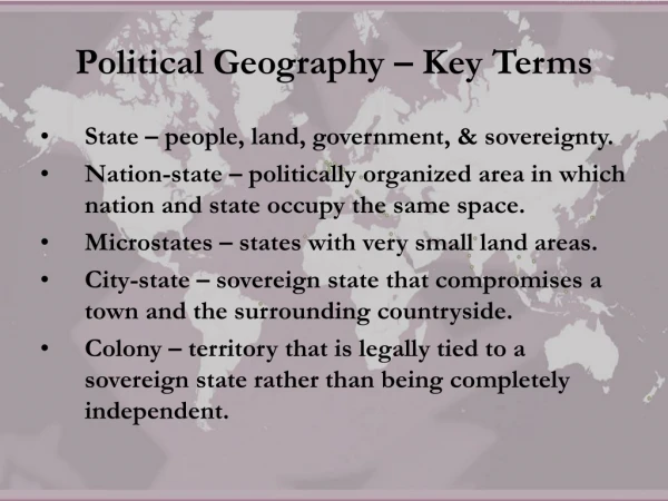
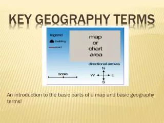
Geography Terms. Social Studies Online. Geography. Blueprint Skill: Identify and use the key geographic elements on maps (i.e., island, flood plain, swamp, delta, marsh, harbor, cape, sea level, bay, prairie, desert, oasis, mesa, mountain, valley, glacier, canyon, cliff, plain, and plateau).

E N D
Geography Terms Social Studies Online
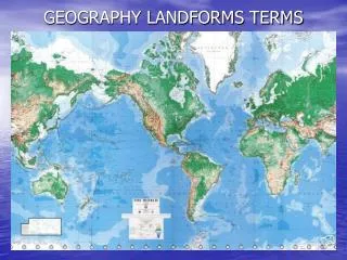
Geography • Blueprint Skill: Identify and use the key geographic elements on maps (i.e., island, flood plain, swamp, delta, marsh, harbor, cape, sea level, bay, prairie, desert, oasis, mesa, mountain, valley, glacier, canyon, cliff, plain, and plateau).
Plain • Plains are flat lands that have only small changes in elevation.
Plateau • A plateau is a large, flat area of land that is higher than the surrounding land
Cliff • A cliff is a steep face of rock and soil.
Canyon • A canyon is a deep valley with very steep sides - often carved from the Earth by a river.
Glacier • A glacier is a slowly moving river of ice.
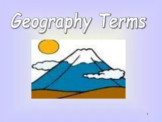
Mountain • A mountain is a very tall high, natural place on Earth - higher than a hill. The tallest mountain on Earth is Mt. Everest.
Mesa • A mesa is a land formation with a flat area on top and steep walls - usually occurring in dry areas
Oasis • An oasis is small fertile area surrounded by desert.
Desert • A desert is a very dry area.
Prairie • A prairie is a wide, relatively flat area of land that has grasses and only a few trees.
Bay • A bay is a body of water that is partly enclosed by land (and is usually smaller than a gulf).
Sea Level • Sea Level is the average height, or elevation, of the sea surface.
Valley • A valley is a low place between mountains.
Cape • A cape is a pointed piece of land that sticks out into a sea, ocean, lake, or river.
Harbor • A naturally or artificially protected basin on an ocean, lake, or river where ships may be anchored or docked without danger.
Marsh • A marsh is a type of freshwater, brackish water or saltwater wetland that is found along rivers, pond, lakes and coasts. Marsh plants grow up out of the water.
Swamp • A swamp is a type of freshwater wetland that has spongy, muddy land and a lot of water. Many trees and shrubs grow in swamps.
Island • An island is a piece of land that is surrounded by water.
Flood Plain • Floodplain is aflat region of a valley floor located on either side of a river channel.
Delta • A delta is a low, watery land formed at the mouth of a river. It is formed from the silt, sand and small rocks that flow downstream in the river and are deposited in the delta. A delta is often (but not always) shaped like a triangle (hence its name, delta, a Greek letter that is shaped like a triangle).
Resources • http://www.enchantedlearning.com/geography/landforms/glossary.shtml • http://www.edu.pe.ca/southernkings/landforms.htm • http://www.geocities.com/monte7dco/ • http://geoimages.berkeley.edu/GeoImages/Johnson/Landforms/Landforms.html • http://vathena.arc.nasa.gov/curric/land/landform/landform.html • http://www.harcourtschool.com/activity/types_of_land_2/