Download
1 / 15
160 likes | 441 Vues
Geology in Ohio. Livi Allegretti Jenni Bucher Kirstie Snyder Amanda Wiegand. Formation of Major Landforms.

E N D
Geology in Ohio Livi Allegretti Jenni Bucher Kirstie Snyder Amanda Wiegand
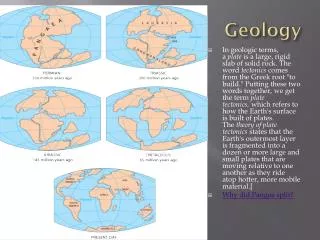
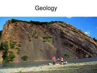
Formation of Major Landforms • The formation of many of the major landforms in Ohio were created by glaciers. The movement of the glaciers cause the land to be scraped away and flattened. The scraping of the hills caused smaller particles such as rock and gravel. • Areas in Ohio that were not covered by glaciers two million years ago are still slightly hilly.
Ohio • Major Rivers in Ohio - Ohio River, Cuyahoga River, Miami River, Maumee River, Muskingham River, Scioto River, and Sandusky River • Major Lakes - Lake Erie and Grand Lake • Highest Point - Campbell Hill (1,549 feet above sea level) • Lowest Point- Ohio River (455 feet above sea level)
The Ohio River • Formation- The river used to me more North than it is now. Due to glaciers causing damming, the river was pushed more south. • Borders- southern and eastern Ohio, northern and western Kentucky • Flows into the Mississippi river • Length- 1580 kilometers, 981 miles
Miami River • A tributary of the Ohio River • 150 miles (240 km) long • Flows through Dayton, Piqua, Troy, and Sidney • Named for Mimi and Algonquian speaking Native people who lived in that region during the early days of European Settlement.
Scioto River • Begins in west central Ohio and flows southeast to the Olentangy River in Columbus, Ohio. • At more than 231 miles in length, the Scioto River is one of the largest rivers in the state. • The upper Scioto River watershed is located in central Ohio with headwaters beginning in Hardin County, and continues to flow through Marion, Delaware, and Franklin counties, where it is meets the Olentangy River. The upper Scioto River watershed covers 6,510 acres.
Lake Erie • Formation- The depression of land due to glaciers around the northern border of Ohio formed large; low spots filling with water until drainage divides formed drainage outlets; later melting of glaciers • Depth- deepest spot= 210 feet • Size- 12th largest freshwater lake in the world • Use- water supply for surrounding areas, sand and gravel used for construction, clay forms on the bottom of the lake when water levels are high
Grand Lake • Manmade lake- created between 1837 and 1845 • Feeder for the Miami-Erie Canal system • Largest manmade body of water in the world that was built without the use of machinery
Campbell Hill • Location- outside of Bellefontaine, Ohio • Elevation- 1549 feet above sea level • Named after Charles O. Campbell who owned the land
Recourses • http://www.teachersfirst.com/share/states/detail-land.cfm?state=oh • http://www.enchantedlearning.com/usa/states/ohio/ • http://www.dnr.state.oh.us/geosurvey/lakeerie/lefact1/tabid/7829/Default.aspx • http://www.waymarking.com/waymarks/WM22JB • http://geology.com/state-map/ohio.shtml