Napier City Council
130 likes | 340 Vues
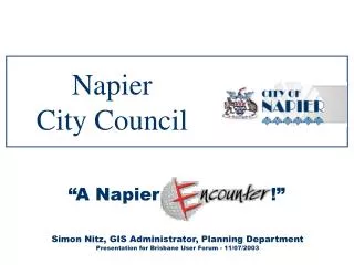
Napier City Council. “A Napier Encounter !”. Simon Nitz, GIS Administrator, Planning Department Presentation for Brisbane User Forum - 11/07/2003. Where is Napier?. Auckland. NAPIER. Wellington. A short Geographic History!. Tuesday 3 Feb 1931 earthquake reading 7.9 on the Richter scale

Napier City Council
E N D
Presentation Transcript
NapierCity Council “A Napier Encounter !” Simon Nitz, GIS Administrator, Planning Department Presentation for Brisbane User Forum - 11/07/2003
Whereis Napier? Auckland NAPIER Wellington
A short Geographic History! • Tuesday 3 Feb 1931 • earthquake reading 7.9 on the Richter scale • Fires destroy most of the commercial Napier • Rebuilt in Art Deco Style • Sea bed area shaded in blue rises 2m to create new land
Napier2003 Airport Port CBD
Property Information 1999 • Disparate Databases • Duplication • Access to Info… • Time Consuming • Cumbersome • High Risk
Property Information2003 • Fast Delivery of Info • Dynamic Links to Corporate System • Lowered Risk
How? • Web based GIS portal to multiple data sources • Based on MapInfo Encounter • Lots of hard work on data issues!
1st Generation 2nd Generation 3rd Generation • MapXtreme v2 • Proprietry to NCC • Static HTML • Print in MI Pro • MapXtreme v3 • Encounter v1 & 2 • Java Applets • Print in Browser • MapXtreme v4 • Encounter v3 • XML / XSLT • Image Viewer Intranet GIS History Proprietry MapInfo Encounter June 1999 September 2000 Encounter v2.5 Simon Nitz Encounter v1 Encounter v2 Encounter v3 MAPiT MAPiT2 MAPiT3 1999 2001 2002 2003 2000
Why Encounter? Dynamic Legend Highly Customisable Rich Map Toolset Interactive Map Selection Results SiteBuilder Dynamic Tree Menu External Databinding XML Architecture
Internal Environment • Users • 109 Encounter • MI Pro / EasiMaps • 6 Planning Dept. • 3 Assets Dept. • Windows Servers • File and Print • GIS Data • GIS Web Server • Assets • SQL Server • Hansen IMS • UNIX Server • Corporate System • Intranet Web Server
Napier Encounters… • Intranet • MAPiT • MAPiT Public (Front Counter) • Internet • www.napierplanning.govt.nz
Live Demo… MAPiT3 Napier City Council Intranet GIS based on MapInfo Encounter
Questions? Simon Nitz GIS Administrator, Planning Department “www.napierplanning.govt.nz” “simonn@napier.govt.nz”