Download
1 / 11
130 likes | 622 Vues
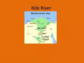
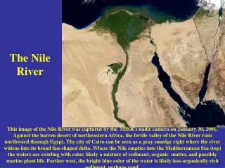
THE NILE RIVER. --- KEYSTONE OF EGYPT’S GEOGRAPHY ---. EGYPT. This is Egypt. Notice that it is mostly desert... …except for that green strip down the central/east region, and the bit at the top. EGYPT. The green strip is the Nile River Valley and Delta.

E N D
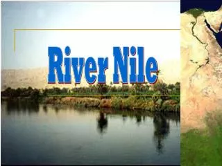
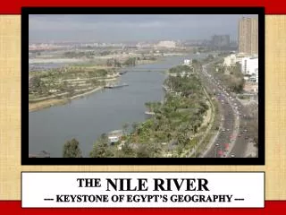
THE NILE RIVER --- KEYSTONE OF EGYPT’S GEOGRAPHY ---
EGYPT This is Egypt. Notice that it is mostly desert... …except for that green strip down the central/east region, and the bit at the top.
EGYPT The green strip is the Nile River Valley and Delta. The Nile is an excellent example of how people both adapt to and affect their environment.
EGYPT Everything you’ve ever read or heard about Ancient Egypt took place in that green strip. Most everywhere else is unlivable.
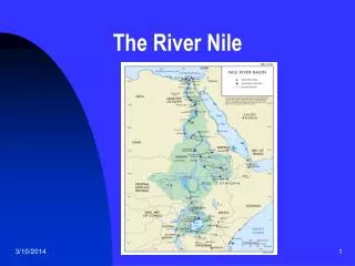
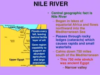
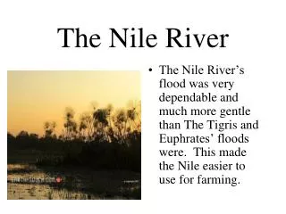
THE ANCIENT NILE The Nile River provided the major transportation route through Egypt. ---- The Nile Delta (delta: sediment-produced landform where a river meets a sea or ocean) is over 150 miles wide; includes Alexandria. ---- Because the Nile fertilized the farmland, nearly all Egyptians lived within ten miles of the river, or within the Nile Delta.
THE ANCIENT NILE How did the Nile fertilize the farmland? The Nile River carries silt downriver. This silt contains nutrients needed for plants to grow. The Nile floods every year. The floods overwhelm the farmlands, and the river leaves some of its silt behind. This silt recharges the farmland for another growing season.
THE NILE RIVER DELTA The Giza pyramids are near the delta’s point. ---- The Nile splits in two (Rosetta and Damietta Rivers), explaining the Nile’s large delta. Damietta Rosetta River River City of Nile Alexandria divides Giza
THE NILE AND THE PYRAMIDS Boats on the Nile transported building materials from both ends of the river. ---- Many pyramid workers were farmers whose fields were unworkable during floods, meaning Egypt had a large available labor force. ---- Some believe the pyramids’ foundations were leveled by flooding the site from the river.
THE ASWAN HIGH DAM Built 1960-1970 ---- The dam has a hydroelectric generator station, which produces a significant amount of Egypt’s electrical power. ---- Construction of the dam formed Lake Nasser, which holds the water that the dam blocks until it is released when needed.
THE ASWAN HIGH DAM Benefits 1. Eliminates risk of floods, potentially saving lives and property each year 2. Increases safety sailing down the river 3. Increases the number of harvests annually from one to two or three 4. Greatly reduces risk of a bad harvest, thus stabilizing Egypt’s home-grown food supply 5. Provides electricity for the country 6. National symbol of power, modernization
THE ASWAN HIGH DAM Drawbacks 1. Requires a massive irrigation project involving canals to feed every field 2. Dam, irrigation, and electrical infrastructure require maintenance to remain useful and safe 3. Everyone living above the dam site has to be evacuated for the new lake (50,000 Egyptians) 4. Historic site at Abu Simbel flooded 5. Loss of fertile silt deposits on fields requires use of chemical fertilizers