Earth Science
200 likes | 317 Vues
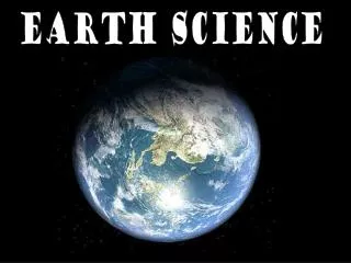
Earth Science. Chapter 1-2, 1-3 & 1-4. The Earth System. Earth System: 4 main parts 1. Atmosphere 2. Hydrosphere 3. Lithosphere 4. Biosphere. Atmosphere. The layer of gases that surround and form an envelope around the Earth. Consists of several gases Nitrogen – 78% Oxygen – 21%

Earth Science
E N D
Presentation Transcript
Earth Science Chapter 1-2, 1-3 & 1-4
The Earth System Earth System: 4 main parts 1. Atmosphere 2. Hydrosphere 3. Lithosphere 4. Biosphere
Atmosphere • The layer of gases that surround and form an envelope around the Earth. • Consists of several gases • Nitrogen – 78% • Oxygen – 21% • CO2, H2O, others – 1%
Lithosphere • Earth's solid, rocky outer layer • The continents, islands and ocean floors
Hydrosphere • All of the water present on the planet • Oceans, lakes, streams, ice caps, snow, glaciers, etc.
Biosphere • That area of the land, water and air that contains life!
The Earth’s Surface • Topography: The shape of the land. The topography of an area includes the area's elevation, relief, and landforms.
Elevation - Relief • Elevation -height above sea level • Relief - difference between the highest and the lowest points of an area
Landforms • 3 main types: plains, mountains & plateaus. Plains: made up of flat or gently rolling land with low relief Mountains: made up of high elevation and high relief. Plateaus: high elevation and a more or less level surface
Earth’s Grid – Equator & Prime Meridian Prime Meridian goes thru Greenwich, England Equator is half way between the north & south pole
Latitude & Longitude • Latitude: the distance north or south of the equator • Longitude: the distance east or west of the prime meridian Both latitude & longitude are measured in degrees
Topographic Maps • They provide information on the elevation, relief, and slope of the ground surface • You must familiarize yourself with the map's scale and symbols and interpret the map's contour lines. • closely spaced contour lines indicate steep slopes. • closed loop with no other contour lines inside it indicates a hilltop. • V-shaped contour lines pointing uphill indicate a valley.
Reading a Topo Map • Contour lines • Thin lines • Contour interval • Spaces between • Index contour • Thick lines