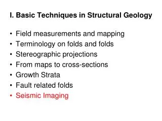
I. Basic Techniques in Structural Geology
Learn about field measurements, stereographic projections, geological mapping, and interpretation of subsurface data using techniques like cross-section plotting and extrapolation. Dive deep into structural geology with insightful resources.

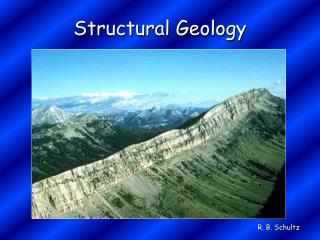
I. Basic Techniques in Structural Geology
E N D
Presentation Transcript
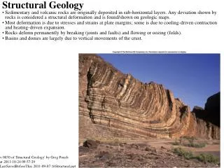
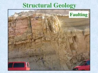
I. Basic Techniques in Structural Geology • Field measurements and mapping • Terminology on faults and folds • Stereographic projections • From maps to cross-sections • …
reading • Suppe (chapter 2) • Davis&Reynolds (p662-690)
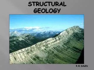
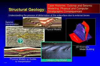
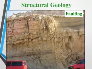
A geologic map represents the geometric relationship between the various rock units faults at the surface. • Any interpretation of the sub—surface must be consistent with the geologic control, and style of deformation revealed by the map; as well as with the information available from the subsurface (well logs, seismic profiles…).
Amanz Gressly 1859… Tunnel du Mont Sagne (Desor & Gressly, 1859) Gressly’s prediction before the tunnel…
Le premier juillet 1857 on inaugure dans l'enthousiasme le tronçon La Chaux-de-Fonds - Le Locle. Cette première voie ferrée en terre neuchâteloise témoigne de l'esprit d'entreprise des industriels et des commerçants du Haut. Dès le 15 juillet 1860, on peut se rendre en train du Locle à Neuchâtel. La ligne emprunte le tunnel du Mont Sagne et celui des Loges qui avec ses 3259 mètres est alors le plus long de Suisse. Source: Cop, Raoul Histoire de La Chaux-de-Fonds, 2006
After the tunnel… Desor & Gressly 1859 Gressly’s prediction before the tunnel…
Gressly’s subsurface prediction was an extrapolation of surface geology… Desor & Gressly 1859
Construction of a cross-section • Define the plane section (in general vertical but not necessarily). • Determine topographic profile (without any vertical exaggeration) • Plot geologic data (measurements of strike and dip; intersections of stratigraphic contacts; faults). • Extrapolate and interpolate data.
Apparent dip angles can be determined from vector algebra, stereonets or graphs
Control Points Control lines Davis and Reynolds, ‘Structural Geology’
Preparation of a normal profile (or structure profile of the fold) Davis and Reynolds, ‘Structural Geology’
di=dm.sinα Preparation of a normal profile (or structure profile of the fold) Davis and Reynolds, ‘Structural Geology’
Determinantion of bed thickness (note the difference with outcrop breadth) Davis and Reynolds, ‘Structural Geology’
Structure Contour lines Davis and Reynolds, ‘Structural Geology’
Extrapolation and interpolation - Some assumptions are needed to extrapolate. - Is the proposed section a possible geometry?