Download
1 / 13
130 likes | 245 Vues
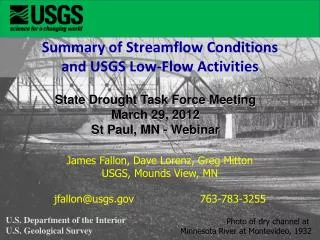
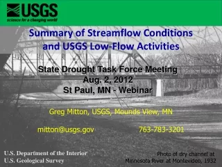
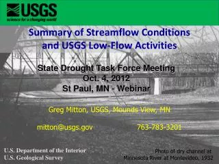
Summary of Streamflow Conditions and USGS Low-Flow Activities. State Drought Task Force Meeting Oct. 4, 2012 St Paul, MN - Webinar. Greg Mitton, USGS, Mounds View, MN mitton@usgs.gov 763-783-3201. U.S. Department of the Interior U.S. Geological Survey.

E N D
Summary of Streamflow Conditions and USGS Low-Flow Activities State Drought Task Force Meeting Oct. 4, 2012 St Paul, MN - Webinar Greg Mitton, USGS, Mounds View, MN mitton@usgs.gov 763-783-3201 U.S. Department of the Interior U.S. Geological Survey Photo of dry channel at Minnesota River at Montevideo, 1932
Nearly half of U.S. experiencing below-normal streamflow Comparing lowflow conditions nationally – June and Sept., 2012 http://waterwatch.usgs.gov/new/index.php
Map of below normal 7-day average streamflow for July 30 and Oct. 1, 2012 http://waterwatch.usgs.gov/new/index.php?m=dryw&r=mn
Flow Conditions at USGS gages in Minnesota http://waterdata.usgs.gov/mn/nwis/ current/?type=intro
Summary of current streamflows for 72 USGS stream gages within Minnesota. • 28 (39%) locations have flows in the lower 10th percentile. Mostly in the northern third and south-central parts of state. • 27 (38%) locations have flows in the 10-24th percentile • 17 (23%) locations have flows in the 25-75th percentile. Mostly in the west-central part of state.
Additional Drought Resources Drought-related Web Page Low-Flow Statistics Web Page http://mn.water.usgs.gov/drought/ http://mn.water.usgs.gov/infodata/lowflow/