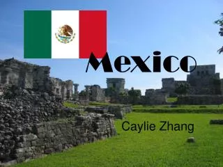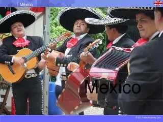
Mexico
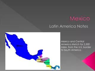
Mexico. Latin America Notes. Mexico and Central America stretch for 2,500 miles, from the U.S. border to South America. Geography of Mexico:. Mountains dominate most of Mexico. Sierra Madres run along both coasts of Mexico.

Mexico
E N D
Presentation Transcript
Mexico Latin America Notes Mexico and Central America stretch for 2,500 miles, from the U.S. border to South America
Geography of Mexico: Mountains dominate most of Mexico. Sierra Madres run along both coasts of Mexico. Between the Sierra Madres runs a plateau = an area of high, flat land
Baja California is a peninsula, which is a strip of land that is surrounded on three sides by water. Baja California = “Lower California” and is part of Mexico.
Central Plateau: Most people live in Mexico’s central plateau. 4/5 of Mexico’s population live in the Central Plateau Because of the surrounding mountains it is hard for people to travel to and from the Central Plateau.
Natural Hazards: The Central Plateau is unstable because four tectonic plates meet there. Because of moving tectonic plates, active volcanoes are located on the edge of the plateau. Hospital In 1985, a strong earthquake hit Mexico City, killing about 10,000 people and causing about $4.1 billion in damage
Climate Factors Sierra Madres block rainfall coming from the ocean, some areas in the central plateau only receive 4 inches of precipitation/year. Climate draws people to Mexico City. Because the central plateau is at a high elevation, about 7,000 feet, the climate is pleasant year-round. Mid 70’s
The Coastal Regions of Mexico Northern Pacific Coast – Dry, hot, and thinly populated. - Despite its arid climate this region has some of the best farmland in Mexico Southern Pacific Coast – Smaller mountain range edges the narrow southern Pacific coast -Not much farm land, but tourism is big in this region -Tropical climate Gulf Coastal Plain – Very important to Mexico’s economy – vast deposits of petroleum and natural gases - One of the world’s major oil-producing regions • Yucatan Peninsula –Generally flat • Tourism greatly contributes to economic development in this area, • Ancient Mayan ruins attract many visitors and archaeologists
A Place of Three Cultures: Native Americans, Spanish and mestizo Aztecs: In 1400’s Aztecs built a powerful empire around their capital city, Tenochtitlan. In 1519, Spanish conquistador Hernan Cortes and 600 Spaniards marched into Tenochtitlan. Within 2 years the Spanish took over Tenochtitlan and the Aztecs, and re-named the city “New Spain”
New Spain: Peninsulares = Born in Spain, moved to New Spain, held high official positions Criollos = People of Spanish ancestry born in New Spain Mestizos = People of mixed ancestry Indians = ranked lowest, provided labor, slave like existence.
Road to Democracy: Tensions were raised between different social classes . Lead to resentment between the criollos and the peninsulares. In 1821, Mexico became an independent nation, with military dictators In 1810, a criollo, Miguel Hidalgo declared a rebellion against Spanish rule. Resulting in a war of independence. The Mexican Revolution stood up to the military dictator and ended in 1920 with a new democratic president and constitution In 1910, peasants and middle-class Mexican rebelled causing the Mexican Revolution.
Social Conditions Rural Life = Most people in the countryside work in agriculture, on haciendas. Haciendas are large, Spanish owned estates of land. 3-4 million rural Mexican families have no land or opportunity for work. These people are called migrant workers. Migrant workers = landless, jobless peasants, traveling from place to place for work. Urban Life = ¾ of Mexican people live in urban areas. Mexico City is one of the largest urban areas in the world. City life means better job opportunities, chances for education and excitement
Economic Activities NAFTA = North American Free Trade Agreement. A free trade network between the U.S., Canada, and Mexico. With NAFTA Mexico’s trade with the U.S. and Canada doubled, and manufacturing increased and unemployment declined in Mexico. Major Industries = Petroleum and Tourism Along the U.S. and Mexico border, more than 2,000 factories assemble products almost exclusively for the U.S.