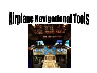
A Brief History of Airplane Navigational Tools and Techniques
200 likes | 343 Vues
This overview explores the evolution of airplane navigational tools, from early methods like celestial and pilotage navigation to advanced systems like GPS. Discover how the first experimental night flights in 1921 relied on bonfires, and how radio-equipped control towers emerged in the 1930s. Key navigational aids such as VOR, DME, ADF, and radar are detailed, showcasing their importance in modern aviation. Learn about the reliability of magnetic compasses and the significance of transponders in enhancing aircraft visibility. Delve into the history and technology that shape today’s air travel.

A Brief History of Airplane Navigational Tools and Techniques
E N D
Presentation Transcript
History • In 1921 the first experimental night flight was tried out using bonfires en route. • Early air traffic controllers began using flags and lights to signal to pilots • 1920’s – airports begin to use lights to show position of landing field • 1930 - Cleveland, Ohio becomes the first city to use a radio-equipped control tower.
Forms of navigation include: • Celestial Navigation – using the stars, sun, and planets. Oldest form of navigation • Pilotage – pilot uses landmarks to determine position • Dead reckoning – pilot determines position using speed, time, direction, and destination • Radio Navigation – use of high tech instruments to determine position by use of radio waves
Magnetic Compass • Everything that flies has a magnetic compass mounted to the windshield • It can be used almost anywhere in the world • It’s the most reliable thing in the aircraft, uses no power or technology
Visual Omni Range (VOR) • Being used since the 1950’s • Operated by the FAA • VOR signal displays aircrafts position relative to specific station • Uses thousands of radio transmitters located throughout U.S. and the world • Aircraft must be within receiving range
VOR Indicator VOR always points away from the station • Rotating Course Card, calibrated from 0 to 360° • Omni Bearing Selector knob (OBS), manually rotates course card • Course Deviation Indicator (CDI) needle swings left or right to show which way to turn to return to course entered • The TO-FROM indicator. Arrow points up when flying to VOR station and down when flying away from it. Red flag means out of range.
Distance Measuring Equipment(DME) • Allows the pilot to measure their distance from station • Typically collocated with VOR station • Displays distance, ground speed, and time to reach station • Can also be paired with a TACAN station • Slant Range error upon approach of station
Automatic Direction Finder (ADF) • Uses low frequency signals • When frequency is set to proper station, the needle will point exactly to the station • Non directional beacon (NBD) stations broadcast the signal threw the sky
Radar • Stands for Radio Detection and Ranging • Uses electromagnetic waves which are transmitted to the ground to determine altitude, direction, range, and speed • Over 90% of the U.S. airspace is covered by radar and often by multiple radar systems • Frequently used in approach and landing, especially in low-visibility conditions
Transponders • Little box on an aircraft used to help make the aircraft more visible as a radar target • When a radar beam hits an aircraft it is reflected back to its origin so the FAA can pin point its exact location. The transponder generates a very powerful return pulse, making the aircraft easier to see
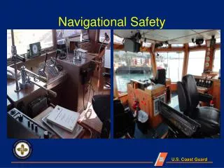
Transponders ATC’s view of a radar screen
LORAN C • LOng-range RAdio Navigation • Time based radio navigation from 2 or more locations • 90-110hz
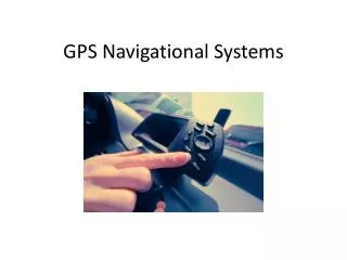
Global Positioning System(GPS) • Space based navigational aid • Fast and accurate giving information such as speed, position, and course information • Gives runway lengths • Aircraft can be plotted within a few feet
Other Navigational Aids • OMEGA – first truly global radio navigation system for aircraft • Decca – low frequency range developed during WWII
Review Questions • What type of navigation uses landmarks to determine position? • What the most reliable thing in the aircraft? • Does the VOR point towards or away from the station? • ADF uses what frequency signals? • What does Radar stand for? • What navigational aid gives runway lengths?
References • http://gaservingamerica.org/how_work/work_navigation.htm • http://www.faa.gov/about/office_org/headquarters_offices/ato/service_units/techops/navservices/history/ • http://www.centennialofflight.gov/essay/Government_Role/landing_nav/POL14.htm • http://www.google.com