Download
1 / 20
210 likes | 372 Vues
ROV Data Visualization with GeoVRML. SIGGRAPH CartoBOF 24 July 2002. Problems to be solved. Combine mixed-format data into single visualization tool Add geo-located objects Discover spatial relationships Data quality control “Ground” truth mapping data. Problems to be solved (cont.).

E N D
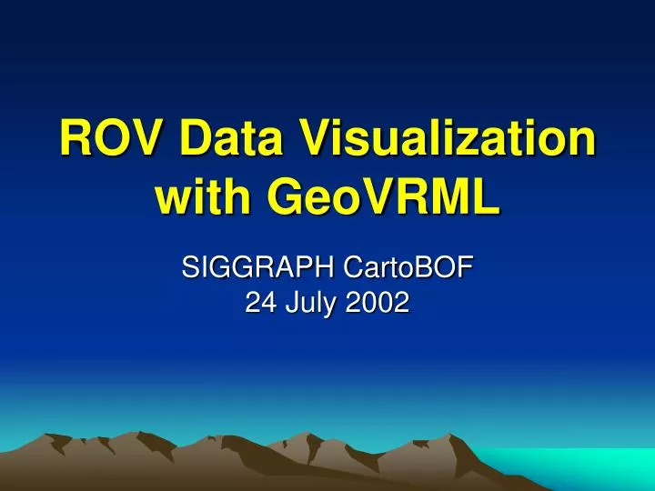
ROV Data Visualizationwith GeoVRML SIGGRAPH CartoBOF24 July 2002
Problems to be solved • Combine mixed-format data into single visualization tool • Add geo-located objects • Discover spatial relationships • Data quality control • “Ground” truth mapping data
Problems to be solved (cont.) • Render terrain in true 3D space • Improve ability to plan future expeditions • Establish routine processes for visualization • Software • People • Help people look at data
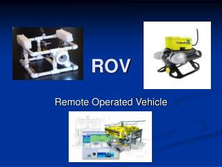
Data, data, data, … • ROV Data • Navigation • ROVCTD • Video annotations • Framegrabs • Samples • Terrain Data ROV Data Terrain Data Visualization System
Terrain Data • Mapping data • Bathymetric surveys up to 5 m resolution • Data available as Digital Elevation Models & Orthorectified Imagery • GMT bathymetry grid files • TIFF images of these grids • MB-System at MBARI • TerraVision & TsmApi from SRI • GMT from University of Hawaii • >> Produce quad-tree multiresolution GeoVRML ElevationGrid tiles for all MBARI coverages
Terrain Data Flow Diagram mbm_grd2geovmrl .grd .grd make_dem make_dem TV TV make_geovrml make_geovrml .tiff .tiff make_oi make_oi GeoVRML
GeoVRML Terrain generation • make_dem example (a tsmApi 2.1 utility): make_dem /u/mccann/TileSets/Pyramids/pacific/NEPacific NEPacific.raw \-startres 0.0166667 \-geoname NEPacific -width 3600 \-height 2100 -ll_lat 15 \-ll_long -165 -offset -10000 \-scale 0.001
GeoVRML Terrain generation • make_oi example (a tsmApi 2.1 utility): make_oi /u/mccann/TileSets/Pyramids/pacific/NEPacific NEPacific.tif \-startres 0.004166675 \-geoname NEPacific \-width 14400 -height 8400 \-ll_lat 15 -ll_long -165
GeoVRML Terrain generation • make_geovrml * example (a tsmApi 2.2 utility): make_geovrml \ -dem MontereyC_bath.dem \ -oi MontereyC_bath.oi \ -vrmldir cencal/MontereyC_bath \ -onesided -numpolys 16 -elevscale 1 \ -vrmlurl http://localhost/vrml/terrain/...\ -olat 36 -olon -122 \ -touch 2,4,6 -hud –maxrange \ -wrz * Modified by MBARI to implement touch sensor load control for high resolution tiles in the area of interest
GeoVRML Terrain generation • mbm_grd2geovrml will be added to MB-System • Uses GMT routines to Spline fill no data areas • Calls all tsmApi routines • Uses make_geovrml options that are optimal • Click on a tile to load next 2 levels, about 5K more polygons – takes ~ 3 sec. • Mouse over to display GeoCoordinate value
Terrain data in GeoVRML MontereyA_bath • 8 levels of detail • 30 MB of gzipped tile & jpg image files • 14,500 files • 30 m resolution Over 80 other coverages
GeoVRML nodes used • GeoOrigin • GeoViewpoint • GeoLocation • GeoCoordinate • GeoTouchSensor • GeoInline (InlineLoadControl) • GeoPositionInterpolator • GeoLOD • GeoElevationGrid • GeoTransform • GeoProximitySensor
New GeoIconImageProto • Generalize image placement in GeoVRML • Scale size so that it’s always visible • Optionally switch from icon to image at a transition distance • Exposed field for controlling billboard behavior
Web Interface – Expedition search • Use Netscape (for now) • Display Expedition info which offers 3D replays along with other data • Select 3D view – interact • Server-side scripts (3D.asp & 3Dterrain.asp) • Query database for 3D basemaps & dives • Present options • Construct world and deliver to browser
Adoption at MBARI • Over 2500 dives available on MBARI Intranet • Scientists wanted to use visualizations immediately after dive • System is installed on R/V Western Flyer • GeoVRML Exposure in Oceanography • In use first time (today!) on current West Coast expedtion
Davidson Seamount Expedition • 6 Days, 6 dives • 85 hours of video • 2500 video frame grabs • 100s of data files • Video annotations and sample archive ongoing • 32 VRML files ~12MB
Live Demo More to see Thursday nightat Web3D Showcase