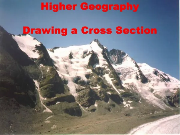
Drawing Cross Sections of a Topographical Map
170 likes | 440 Vues
Drawing Cross Sections of a Topographical Map. Specific Skill. What you need. Ruler Pencil Grid Paper Topographical map. Step 1. Taking your ruler, measure the length of the area you want to cross section – in this case the length of the red line. On a piece of grid paper draw this line.

Drawing Cross Sections of a Topographical Map
E N D
Presentation Transcript
Drawing Cross Sections of a Topographical Map Specific Skill
What you need • Ruler • Pencil • Grid Paper • Topographical map
Step 1 • Taking your ruler, measure the length of the area you want to cross section – in this case the length of the red line. • On a piece of grid paper draw this line
Step 2 • On the vertical axis draw a line on the left hand side – every 2 squares on the grid should equal 100m in height. Label each 2 squares with an altitude. • Note: You will need to start with the lowest contour altitude and go to the highest – In this case the lowest being 100m and the highest 700m.
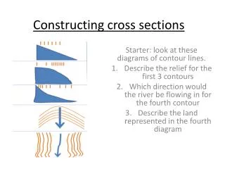
Step 3 • Using a blank piece of paper along the line on the contour map mark the two end points and then place a mark on the paper every time you reach a contour making sure that you mark the height of the contour.
Step 4 • Take that piece of paper and line it along the bottom of your graph. Mark the corresponding contour heights to those on your graph with a dot.
Step 5 • Join the dots with a line. You now have a cross section of a topographical map! • The next step is to label any relevant points.
Step 5 Kuriwao Peak Old Coach Road
Links to the New Zealand Curriculum • Vision – this skill enables students to be confident, connected, actively involved, live long learners. • Principles – this skill directly related to all areas of the curriculum especially high expectations and learning to learn. • Values – through this skill students will live up to all of the values listed in the curriculum – they will be encouraged to value excellence and innovation, inquiry and curiosity.
Links to the New Zealand Curriculum Key Competencies • Thinking – this is a hard skill to grasp so students will need to use creative and critical thinking. • Using language, symbols and text – students will develop skills to read symbols on a topographical map and interpret them. • Managing self – students will need to set high standards and develop a strategy to meet challenges.
Links to the Social Studies Curriculum • Topographical mapping is an important skill in Social Studies. Students may use this task when looking at environments or learn the task prior to moving onto Geography where the skill becomes extremely important.