Download
1 / 13
130 likes | 273 Vues
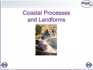
Coastal and eolian processes of provincetown , Massachusetts. By Casey Romeo. Provincetown, MA. Provincetown is located on the tip of the Cape Cod peninsula It is known for its distinguished hook that wraps around into Cape Cod bay. Geologic Formation of Cape Cod.

E N D
Coastal and eolian processes of provincetown, Massachusetts By Casey Romeo
Provincetown, MA • Provincetown is located on the tip of the Cape Cod peninsula • It is known for its distinguished hook that wraps around into Cape Cod bay
Geologic Formation of Cape Cod • Cape Cod formed during the glaciation in the Pleistocene • The glacier that created Cape Cod was called the Laurentide Ice Sheet. • The Laurentide Ice Sheet progressed south from Canada, picking up sediments of all sizes along the way • About 23,000 years ago, it reached its maximum advance, marked by Nantucket and Martha’s Vineyard.
Geologic Formation of Cape Cod • When the glacier started to retreat, it deposited the sediments locked up in the ice. • As the glacier melted, sea level rose about 120 meters to its near present level. • The combination of the glacial deposits and the rise in sea level formed the present landmass of Cape Cod
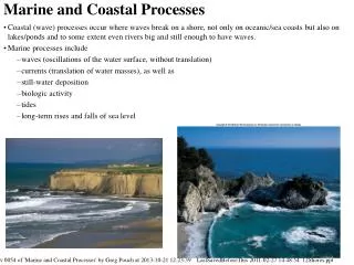
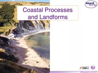
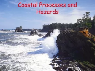
Coastal Processes • The chief method of erosion on Provincetown and Outer Cape Cod beaches is wave erosion. • Waves from the Atlantic Ocean crash on the shore and remove beach material. • This material travels north and northwest along the curve of Cape Cod by longshore drift. • The beach material deposits on low-energy bayside beaches and creates series of long spits, which form the beaches of the Provincetown Hook.
Coastal Processes • Outer Cape Cod beaches face higher rates of erosion than bayside beaches. • This is because Outer Cape beaches directly face the large waves of the Atlantic Ocean, while bayside beaches are protected from these high seas. • Bayside beaches experience accretion in some low-energy environments due to longshore drift.
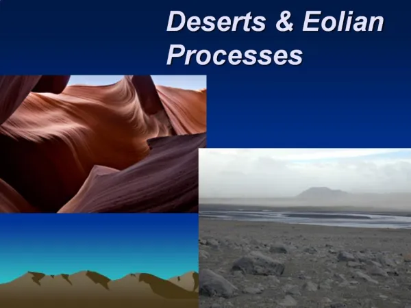
Eolian Processes • The most common eolian feature in Provincetown, MA is parabolic dunes • The convex tip of parabolic dunes is subject to migration due to the lack of vegetation that holds the loose material together. • Parabolic dunes tend to migrate in Provincetown and Outer Cape Cod because of the moderate winds in the area.
Eolian Processes • Forman et al. (2008) found that seasonality is a critical factor for parabolic dune movement. • These dunes are more likely to migrate during dryer seasons (Winter in Cape Cod) because moisture adds cohesion to the dune sand. • The winds during winter typically blow to the northwest, causing the dunes to migrate toward the southeast. • Forman et al. (2008) concluded that parabolic dunes experienced the most movement during the winter.
Future Development of the Provincetown Hook • Waves will continue to erode the beaches of the Outer Cape, so it is likely that these beaches will slowly retreat. • However, this is a gradual process, so coastal erosion will only be very noticeable in the long-run. • Northwest winds will continue to push parabolic dunes toward the southeast. • The Provincetown hook, which is built from prograding spits, could close in on itself and construct a lake of isolated sea water.
Future Development of Provincetown Hook • The island of Monomoy, just south of eastern Cape Cod, demonstrates the process of spits closing in on themselves and forming a lake.
Future Development of Provincetown Hook • Finally, it is important to note the rise in sea level due to climate change. • The warming climate also causes more violent storms, which create larger waves and thus higher rates of erosion. • Due to the potential rise in sea level and violent storms, Cape Cod could be completely underwater in the not-so-distant future.
References • Ekwurzel, B. 1990. A Complex Bayside Beach; Herring Cove Beach, Cape Cod, Massachusetts, USA: Journal of Coastal Research, v. 6, p.879-891. • Oldale, R. 2001. Cape Cod, Martha’s Vineyard and Nantucket: The Geologic Story: Parnassus Imprints, Orleans, MA, 208 p. • Zeigler, J., Hayes, C., Tuttle, S. 1959. Beach Changes during Storms on Outer Cape Cod, Massachusetts: Journal of Geology, Vol. 67, p. 318-336. • Zeigler, J. M., S. D. Tuttle, It. J. Tasha, and G. S. Giese. 1965. The Age and Development of the ProvincelandsHook, Outer Cape Cod, Massachusetts, Limnol. Oceanog., Redfield Vol., p.298-311.