Download
1 / 38
380 likes | 425 Vues
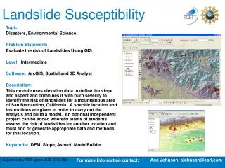
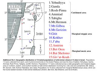
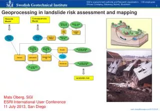
Learn about landslide susceptibility mapping in Kakan catchment area using fuzzy gamma operation in GIS. Discover how these maps assist engineers, earth scientists, and planners in identifying hazard-prone areas and planning environmental regeneration initiatives.

E N D