MAPS AND AERIALS
Maps and Aerials is the tool for exploring the world of marketing and better understand how everything is connected. So for that we brought the best graphic designers who will create high quality maps as per your requirements.<br>2D Maps and Aerials -<br>It shows the small areas which contains minimum information. Maps shows surroundings of the property. <br>3D Maps and Aerials -<br>3D is experiencing the visualizing and highlighting your property
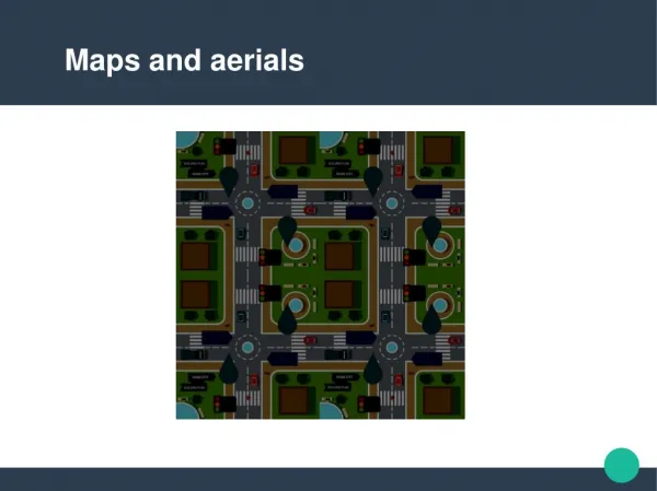

MAPS AND AERIALS
E N D
Presentation Transcript
Need of maps and aerials. Maps and aerials displays the aspect of your proerty plans and the geographical area around you surrounding your property.
Types of Maps and Aerials Various types of maps and aerials are available for the buyers such as the 2D, 3D maps, large detailed maps.
Who requires the maps and aerials Maps and aerials is required by the real estate, building developers, and the architects.
Contacts: Budget Renderings Att.Sherry Evans 2220 Meridian Blvd Suite #DD866 Minden, NV, 89423 USA 818 851 7881 © Copyright. http:/www.budgetrenderings.com All rights reserved.