Subsurface Analyst
Subsurface Analyst. GIS in Water Resources Fall 2009. With contributions from Gil Strassberg (Aquaveo), Tim Whiteaker (UT Austin). Subsurface Analyst. Set of tools that are part of the AHGW Tools Create and Edit 3D models of the subsurface including:

Subsurface Analyst
E N D
Presentation Transcript
Subsurface Analyst GIS in Water Resources Fall 2009 With contributions from Gil Strassberg (Aquaveo), Tim Whiteaker (UT Austin)
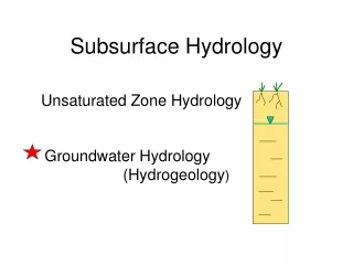
Subsurface Analyst • Set of tools that are part of the AHGW Tools • Create and Edit 3D models of the subsurface including: • Borehole data (as 3D points or intervals) • Surfaces • Cross Sections • Volume models
Borehole Editor • Display and edit vertical data along wells • Inputs are a Well feature class and a BoreholeLog table containing the vertical data
3-D Features representing borehole data • Create 3-D Points and Lines representing data along boreholes Well features Tabular vertical data 3-D Point / Line features
GeoRasters (surfaces) Rasters stored in a geodatabase (raster catalog)
Create 3-D features from GeoRasters GeoSections GeoVolumes
Hydrogeologic Unit Color Manager • Control the symbology of multiple layers based on a common hydrogeologic identifier
Cross Section Editor • Goal • Display and edit cross section features in ArcMap • Problem • ArcMap isn’t suited for displaying and editing predominantly vertical features • Solution • Create new feature class where we transpose “z” to “y” • Build features with GP tools, edit with standard ArcMap tools • Show result in separate data frame
Section Lines and Cross Sections Section Line Plan View Cross Section
Cross Section Features Major Grid Boreline Minor Grid (as map tick) Panel Divider Cross Section Panels Z S
Cross Section Editor Toolbox • GP tools form the building blocks • AHGW toolbar commands provide a friendlier user interface for calling the tools
Demos • Wells and boreholes • Cross section editor • Wells and time series