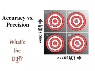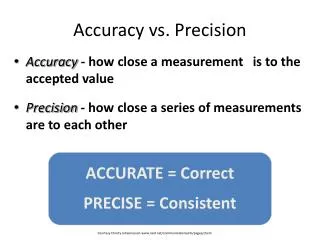
Using GNSS with Background Imagery Resolution vs Precision
Explore how using high-resolution flown aerial images can improve mapping experiences by providing context, confidence, and additional information. Learn about the benefits and risks of incorporating imagery to enhance accuracy and user experience.

Using GNSS with Background Imagery Resolution vs Precision
E N D
Presentation Transcript
Using GNSS with Background ImageryResolution vs Precision Presenter Warren Eade GeoSystems NZ Ltd
The Use of Imagery to Improve the User experience For those user who have experienced mapping without a background, its not a great experience just to be a black point on a blank background.
What can an images offer? What’s the Function? • Context • Confidence • Provide additional information • The ability to redline
But What are the Risks? • Poor Referencing • Wrong Scale • Stalling the processor or slowing it down In general terms we are talking about using flown aerial images not Satellite based. Why….
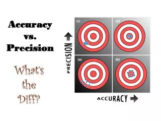
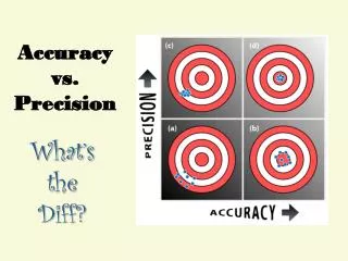
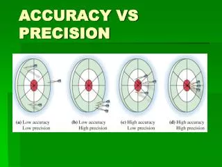
What do they say? Why? Flown Aerial Images are generally more accurate because they use high resolution camera’s at low altitude with better control points. E.g. GeoEye-1 states • Resolution The satellite collects images at .41-meter panchromatic (black and white) and 1.65-meter multispectral resolution. (NOAA requires GeoEye to resample images to .50-meter resolution for commercial use.) At .41 meters (about 16 inches), we can see home plate on a baseball field. Learn more about high-resolution satellite imagery from GeoEye-1 here. • Accuracy GeoEye-1 offers five-meter geolocation accuracy, which means that customers can map natural and man-made features to within five meters (about sixteen feet) of their actual location on the surface of the Earth. No other commercial imaging system can do this. Courtesy of GeoEye.com web site
How might Satellite imagery be used? • As a course layer background • In combination with vector data • With large above ground features • Where the GNSS position is the truth point not the image
Image vs Image with background data • The next step is to improve on just the image
Vector data sets The answer may already exist • Shared information • An issue the Pacific needs to over come is data ownership • Cadastral data set and road centres are very helpful
Key Influencers • What are you trying to achieve • Define the goals and list them • What resolution is required to achieve this outcome • What is the benefit to the User/ Business unit • What data do you already have • What data is available to share • Record the outcome and any benefits • Eg better quality results, faster collection, less errors, reduced project costs, happier staff, etc