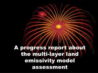
A progress report about the multi-layer land emissivity model assessment
220 likes | 329 Vues
This progress report outlines the assessment of the multi-layer land emissivity (LE) model using GDAS data to simulate brightness temperature (TB). Key activities include utilizing CRTM for TB simulation, evaluating the model performance with AMSR-E data, and comparing results against satellite observations. Ongoing work focuses on refining the model by optimizing surface parameters such as soil moisture, vegetation fraction, and temperature. Future plans include developing an interface between the multi-layer LE model and CRTM to further enhance accuracy in land emissivity simulations.

A progress report about the multi-layer land emissivity model assessment
E N D
Presentation Transcript
A progress report about the multi-layer land emissivity model assessment
Outline • Use multi-layer LE model to simulate TB based on GDAS data. • Use CRTM to simulate TB based on GDAS data. • On-Going Work Plan
Multil-ayer Land EM Sfc%Soil_Moisture_Content = mv (0:1) Sfc%Vegetation_Fraction= Veg_Frac (0:1) Sfc%Soil_Temperature= t_soil Sfc%Land_Temperature= t_skin Sfc%Snow_Depth=snow_Depth Sfc%Canpty_water_content= mg
On- Going Work Plan • Use AMSR-E data(1b or 2a ) to assess our multi-layer LE model performance. • Assess the accuracy of the multi-layer LE model by comparing with satellite observations and CRTM simulations. • Develop an interface of the multi-layer LE model with CRTM .