Download
1 / 9
90 likes | 377 Vues
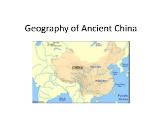
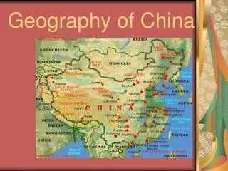
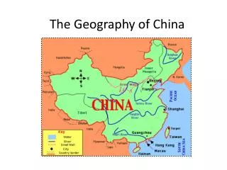
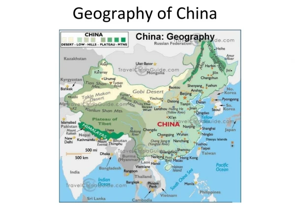
Geography of China. Chapter 7, Lesson 1. The Big Picture. The elevation of the Plateau of Tibet is very high. The area around the Himalayas and the Plateau of Tibet is called: “ The Roof of the World .” On this plateau, the Huang River begins its 3,000 mile journey across northern China.

E N D
Geography of China Chapter 7, Lesson 1
The Big Picture • The elevation of the Plateau of Tibet is very high. • The area around the Himalayas and the Plateau of Tibet is called: “The Roof of the World.” • On this plateau, the Huang River begins its 3,000 mile journey across northern China. • The silt that the Huang River brings to the North China Plain is enough to make it one of the world’s largest deltas.
The Big Picture • Around 4,000 B.C., farming communities began developing along the banks of the Huang River.
The Huang River Valley • The Huang River curves around the Ordos Desert in northern China. • As it turns, it collects loess from the hills – a dusty yellow soil – this is how the Huang River gets its nickname: The Yellow River.
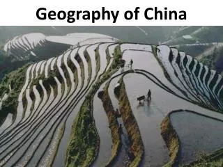
Working with the Environment • The Huang River is the world’s muddiest river. • The loess is both good and bad – • It makes the land very fertile for farmers • But, it can also be carried away easily, and the soil that is left is poor
Agriculture Along the Huang:Controlling the River • The Huang River did not flood as predictably as the Nile River, in Egypt, did. • Chinese farmers had to control the river waters very carefully. • Levees , or dirt walls, were built to keep the water within the banks of the Huang River.
Agriculture Along the Huang:Crops Grow in Loess Soil • Huang farmers grew many crops in the rich soil. Some of their staple crops were: • Rice, millet (a grain native to Asia), wheat, green onions, and ginger • They were also able to grow because of the climate, land elevation, and fertile soil: • Grapes, peaches, plums, and wild chesnuts
Agriculture Along the Huang:Crops Grow in Loess Soil • As the population grew, farmers had to clear the land for people to live, but more importantly, to grow food. • Doing this began to cause erosion, which was a wearing away of the soil by wind or water. • As too much soil began to wear away, the farming villages were often faced with famine – long periods with no food.
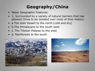
Other Regions in Ancient China • The Huang River Valley was one of the most suitable places in China for farming. • Much of China has difficult geography, such as the steppes in northern China – which are dry, treeless plains. • People in the steppe would herd animals instead of planting crops.