Download

1 / 26
260 likes | 400 Vues
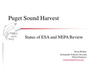
Land Cover Change Effects on Streamflow in Puget Sound Drainage. Lan Cuo Dennis Lettenmaier Marina Alberti November 8 2006. Objective Land cover change effects: 120 year ago and current Methodology Results Conclusion. Methodology.

E N D
Land Cover Change Effects on Streamflow in Puget Sound Drainage Lan Cuo Dennis Lettenmaier Marina Alberti November 8 2006
Objective Land cover change effects: 120 year ago and current • Methodology • Results • Conclusion
Methodology • Generate forcing data and land cover maps for study area. • Calibrate model in pilot basins. • Validate model in pilot basins. • Apply the calibrated model to other basins, calibrate again if necessary. • Remove the long term trend in temperature. (Hamleaf ?) • Study land cover change effects on streamflow.
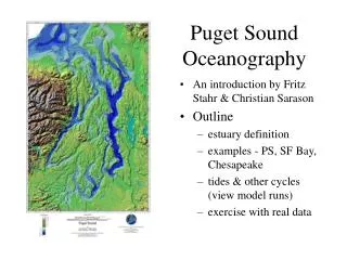
Methodology • Study Area Puget Sound Drainage • Bounded by the Cascade and Olympic Mountains • 41,439 sqr.km • Temperate rainforest ecosystem Subalpine forest, and Alpine Medows • mollisol-ultisol-alfisol Inceptisol-mollisol-spodosal inceptisol-mollisol-histosol http://wa.water.usgs.gov/projects/pugt/images/studymap.gif
Methodology • Population King county had almost 18 times more population in 2000 than 1900.
Methodology Cedar basin Green basin Spring Brook Creek basin Puget Sound Upland Basins (13)
Methodology • Model Structure Interception Evapotranspiration DHSVM Components Energy and radiation balance Snow accumulation & melt Saturation excess and infiltration excess runoff Unsaturated soil water movement Ground water recharge and discharge
Methodology • Forcing Data 1-16th degree grid Tmin, Tmax, precipitation and wind speed. Used 25 stations from 1927 to 2003 Precipitation rescaled using 30 arcsec PRISM product (Daly, 1994)
Mcmillin Kent Everet Darrington Cedar Gridded and station annual and seasonal precipitation (mm)
Quilcene Olympia Cushman Centralia Bremerton Annual and seasonal precipitation (mm)
High elevation stations: Stampede Paradise
Reconstructed 1883 land cover Sourc: Department of Interior, Density of Forests-Washington Territory, 1883
Methodology • Pilot Study Areas • Upland Cedar Basin 2002 Land Cover 1883 Land Cover
Methodology • Pilot Study Areas • Lowland Urban basins Spring Brook Creek Mill Creek
Results: Green River Basin, Deschutes River Basin and Hammahamma River Basin
Results: Using gridded precipitation to calibrate model in urban basins Spring Brook Creek basin 21.9 sq.km Mill Creek basin area 14.6 sq.km
Results: urban basin simulation using Seatac station hourly precipitation 12113346
Results: land cover change effects on streamflow Cedar basin gage 12115000 Daily Peaks (cms)
Results: Green basin Gage 12104500 Daily Peaks (cms)
Results: Urban Basin Gage 12113346 Daily Peaks (cms)
Mean Daily Q (cms) Mean Monthly Q (cms) Days having peaks
Conclusion • Mean daily and mean monthly streamflow flow are higher under current land cover condition • Chances of getting peak flow are higher under current land cover condition • In upland basins, fall, winter and spring streamflow increases under current land cover condition