Geographical Sources
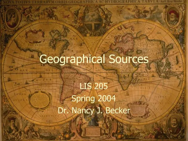
Geographical Sources. LS 500 Information Sources and Services Clarion University of PA Fall 2002, Southpointe Center. Overview. Maps Atlases Gazetteers Travel Guides Miscellaneous. Maps. Topographical Highway Relief Contour Matt’s prized Gettysburg watercolor maps. Atlases.

Geographical Sources
E N D
Presentation Transcript
Geographical Sources LS 500 Information Sources and Services Clarion University of PA Fall 2002, Southpointe Center
Overview • Maps • Atlases • Gazetteers • Travel Guides • Miscellaneous
Maps • Topographical • Highway • Relief • Contour • Matt’s prized Gettysburg watercolor maps
Atlases • World • Regional • Thematic
Electronic Atlases/Maps • National Atlas of the United States • http://www.usgs.gov/atlas/ • National Geographic Map Machine • http://plasma.nationalgeographic.com/mapmachine/ • DeLorme CyberAtlas - link now dead • http://atlas2.delorme.com/atlas.asp
Gazetteers • Pennsylvania Gazetteer • American Places Dictionary • Pennsylvania Atlas & Gazetteer • USGS GNIS • http://www-nmd.usgs.gov/www/gnis/
Miscellaneous • Perry-Casteñeda Map Library Online Maps • http://www.lib.utexas.edu/maps/index.html • Background Notes • http://www.state.gov/r/pa/ei/bgn/