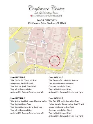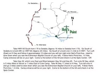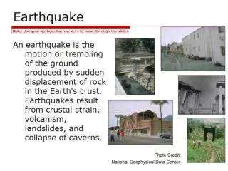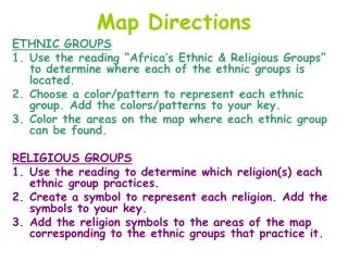
Map Directions
In this engaging classroom activity, students will explore the diverse regions of Western Europe using atlases and textbooks. They will identify significant locations such as Greece, the Peloponnesus Peninsula, Crete, Athens, and more. Students will familiarize themselves with historical sites and geographical features including Rome, the Alps, the Mediterranean Sea, and the Black Sea. After marking these areas on their maps, students can color code them in a way that resonates with their learning style, culminating in a comprehensive understanding of the area's geography and history.

Map Directions
E N D
Presentation Transcript
Map Directions Using Atlases, classroom resources, your text books and the map of Western Europe identify the following: Greece, Peloponnesus Peninsula, Crete, Rhoades, Athens, Sparta, Corinth, Persia, Carthage, Italy, Rome, Etruria, Magna Grecia, Sicily, England, Ireland, Scotland, Spain, Russia, Scandinavia, Constantinople (modern day Turkey), Palatine hill, Apennines Mountains, Alps, Tiber River, Arno River, Rubicon river, Gulf of Corinth, Ligurian Sea, Tyrrhenian Sea, Mediterranean Sea, Adriatic sea, Aegean Sea, Ionian Sea, Black Sea, Irish Sea, North Sea, English Channel Color your map, you may color code it in any way that makes sense to you. You have now identified all the areas of study for this year!