Download
1 / 11
110 likes | 293 Vues
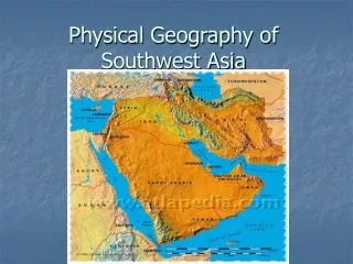
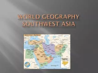
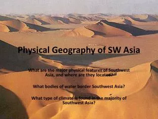
Physical Geography of Southwest Asia. Southwest Asia. Countries- Iraq, Iran, Syria, Israel Called “Middle East” Where 3 continents meet- Africa, Asia, Europe. Peninsulas & Plateaus. Peninsula- piece of land linked to larger land mass mostly surrounded by water.

E N D
Southwest Asia Countries- Iraq, Iran, Syria, Israel Called “Middle East” Where 3 continents meet- Africa, Asia, Europe
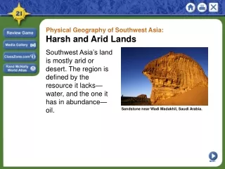
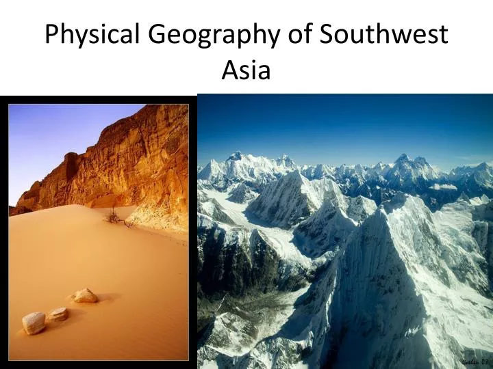
Peninsulas & Plateaus Peninsula- piece of land linked to larger land mass mostly surrounded by water. Arabian Peninsula- borders Red Sea, Arabian Sea & Persian Gulf Rub-al-Khali largest desert, covers most of peninsula Anatolian Peninsula- called Asia Minor, located in Turkey, bordered by Black Sea & Mediterranean Sea
Peninsulas & Plateaus Plateau- high area of uplifted, then eroded land Plateau of Iran- bordered by Persian Gulf & Caspian Sea
Deserts, Mountains & Rivers Mountains prevent rain from reaching inland Rivers- major freshwater sources Tigris & Euphrates River- flow from Anatolian peninsula to Persian Gulf Jordan River- flows to Dead Sea Dead Sea- lies between Jordan & Israel, lowest body of water on Earth- 1, 300 feet below sea level
Water Arid region People are crowded in coastal areas Oasis- fertile or green spot in desert where water comes to the surface Ancient Techniques- 2,500 years ago in Iran, developed qanats Qanats- underground water supply system Iran & Afghanistan still use qanats
Modern Techniques 1950’s – Israel builds system of canals, pipelines & tunnels Purpose- carry water from Jordan River & Sea of Galilee to Negev Desert Project causes tension between Syria & Jordan Fear that Israel will use too much water Water & oil – main resources
Modern Techniques Turkey- Tigris & Euphrates River begin on Anatolian Peninsula Building system of dams- create hydroelectric power & divert water to farmlands Tension between Syria & Iraq Fear –Turkey may use too much water
Earthquakes Southwest Asia- where several plates meet 1999- Turkey-more than 17,000 people killed 2003- Iran 26,000 people killed