Understanding GPS: How the Global Positioning System Works and Its Applications
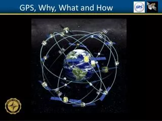
The Global Positioning System (GPS) is a satellite-based navigation system developed by the U.S. Department of Defense and managed by the U.S. Air Force. This essential tool is free for public use, providing accurate geographical locations anytime, anywhere through a constellation of 24-32 satellites orbiting Earth. GPS technology employs complex trilateration methods that allow devices to determine precise locations. Its applications span navigation for land, air, and sea, as well as military operations, agriculture, surveying, and recreational use.

Understanding GPS: How the Global Positioning System Works and Its Applications
E N D
Presentation Transcript
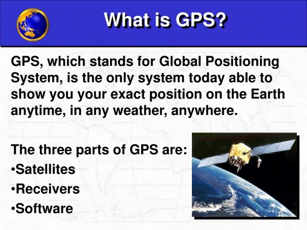
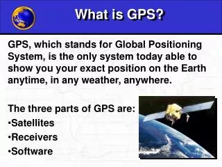
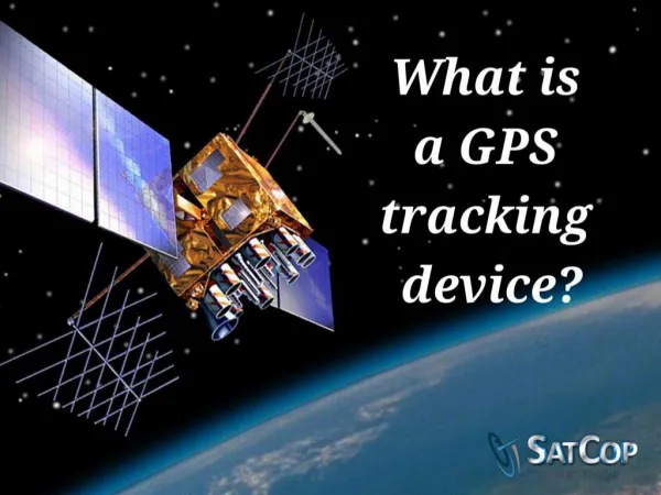
GPS is a global navigation satellite • system developed by the U.S. • Department of Defense, managed by • the U.S. Air Force. Free for anyone to • use. • Provides geographic locations at any time, anywhere. The Global Positioning System Constellation
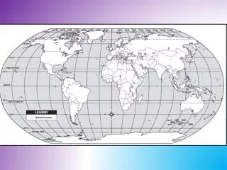
WGS 1984 Geographic Coordinate System Notation Degrees, Minutes, Seconds (DMS)and Decimal Degrees (DD) N 90° 0’ 0” 90.0 N 45° 0’ 0” 45.0 0° 0’ 0” 0.0 -180.0 180.0 -90.0 90.0 0.0 S 45° 0’ 0” -45.0 W 180° 0’ 0” E 180° 0’ 0” W 90° 0’ 0” E 90° 0’ 0” 0° 0’ 0” S 90° 0’ 0” -90.0
GPS is a global navigation satellite • system developed by the U.S. • Department of Defense, managed by • the U.S. Air Force. Free for anyone to • use. • Provides geographic locations at any time, anywhere. • 24 - 32 earth orbiting satellites The Global Positioning System Constellation
A GPS satellite Solar panels – power Atomic clock – precisely records time in UTC Radio transmitter – broadcastsa continuous signal containing the time, and ephemeris (identification and positional information)
San Diego Aerospace Museum GPS satellite on display
GPS is a global navigation satellite • system developed by the U.S. • Department of Defense, managed by • the U.S. Air Force. Free for anyone to • use. • Provides geographic locations at any time, anywhere. • 24 - 32 earth orbiting satellites • GPS receivers • Contain a clock, computer, radio wave receiver. • Dime sized to dinner plate sized • Receive signals from GPS satellites • Computes distance to satellite by comparing time: signal sent vs. received. • Receiving four satellite signals allows a position calculation using trilateration The Global Positioning System Constellation
Trilateration – location determination through the measurement of distances. If the distance to 3 satellites is known, where these 3 spheres intersect can be calculated.Trilateration is the method used by a GPS receiver to determine one’s position on earth.Watch the explanation by a NASA scientist: • http://www.youtube.com/watch?v=3zRlbboMvb0
GPS uses – Navigation Penn State University Geospatial Revolution Videos, Episode 1 (minutes 2:00 – 2:45) http://geospatialrevolution.psu.edu/episode1/complete
GPS uses - Commercial Precision agriculture Fleet management
GPS uses: Military Weapon targeting and guidance Troop deployment and navigation
GPS devices – Survey, mapping, recreational • Survey grade – Very sophisticated receivers, able to receive many signals. Centimeter accuracy possible. Cost: several thousand $$. • Mapping grade – ~1 meter accuracy, possible. • Cost: $700 and up. • Recreational – User friendly, 10 meter accuracy. Cost: $100 and up.
GPS Summary • 24 - 32 satellites in orbit at 20,200 km • Continuous 24-hour, worldwide coverage • Position and time data transmitted from satellites through coded radio waves. • Accuracy is depends on the sophistication of the receiver, number of signals received, and ranges from 10 meter to centimeter accuracy. • Satellites controlled by U.S. Dept. of Defense (clock adjustments, activation, signal scrambling) • WGS 1984 coordinate system used • Wide range of applications For a more involved presentation on GPS, go here