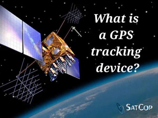
What is GPS???
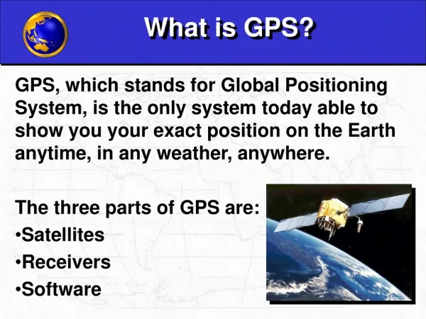
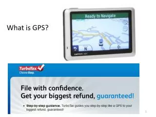
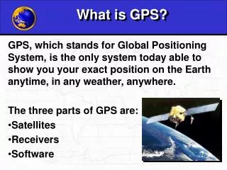
What is GPS???. GPS is short for Global Positioning System Most simply, you use a hand held device that received signals from satellites in orbit around the earth to determine your position on earth’s surface. What is GPS???. +. =. GPS units. Receive signals from satellites in space.

What is GPS???
E N D
Presentation Transcript
What is GPS??? • GPS is short for Global Positioning System • Most simply, you use a hand held device that received signals from satellites in orbit around the earth to determine your position on earth’s surface
What is GPS??? + = GPS units Receive signals from satellites in space Determine where an object is on earth’s surface
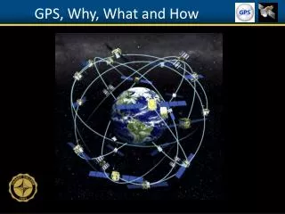
How do GPS units work?? • The basis of GPS is "triangulation" from satellites. • A GPS receiver measures distance using the travel time of radio signals. • To measure travel time, GPS needs very accurate timing which it achieves with some tricks. • Along with distance, you need to know exactly where the satellites are in space. • Air Force maintains ground control • Finally you must correct for any delays the signal experiences as it travels through the atmosphere.
Only have 2 points in space where 3 spheres intersect One will be on earth’s surface, other out in space
GPS Errors http://www.trimble.com/gps/errors2.html • Signals travel at speed of light but not entirely true • Slowed down in Ionosphere: charged particles • Slower down in Troposphere: water vapor • Solution: Modeling atmospheric interference, not easy, changing constantly
GPS Errors • Multipath errors • Result when the direct path to your receiver is blocked • House, roof, trees, mountains, buildings, etc • The signal from the satellite is REFLECTED by some object.
Differential Correction : Eliminate Errors • Differential correction: • Base station, known position. • Used to calculate the error in the satellite signals. • Accomplished by finding the difference between the positions calculated from the satellite signals and the known reference position (base station) • Resulting differential corrections can be used to remove much of the error from the rover file data.
Who maintains the satellites?? • U.S. Air Force's 2nd Satellite Operations squadron at Falcon AFB in Colorado maintains the GPS system • GPS is a high maintenance system • Satellites require regular tweaking • data uploads, • orbital positioning adjustments • clock maintenance • If the ground segment stopped, the system would "gracefully degrade" to complete uselessness in about two weeks time. • So, as each satellite whizzes along and completes one earth orbit every 12 hours, Air Force personnel at Falcon AFB talk to it every few hours.
Converting Units • Degrees, Minutes: -96, 47.46732 or 44, 27.66789 • -96, 47.46732 = -(96 + (47.467328/60)) = • Decimal degrees: -96.791122 • 44, 27.66789 = 44 + (27.66786/60) = • Decimal degrees: 44.46113 • Degrees, Minutes, Seconds: • -96, 47, 28.0392 = • -(96 + (47 /60) + (28.0392/3600)) = • Decimal degrees: -96.791122
Converting Units • 1. Decimal Degrees: -96.791122 • -(96 + (0 .791122*60)) • Degrees, Minutes: • -96, 47.46732 • 2. Decimal Degrees: -96.791122 • (-96 + (0.791122 * 60)) = -96, 47.46732 • -96, 47, (0.46732 * 60) • Degrees, Minutes, Seconds • -96, 47, 28.0392
Accuracy • Different equipment have different levels of accuracy • Magellan units, less expensive, less accurate, Cabela’s • Trimble units, Longitude, Latitude, not so accurate in elevation, Ag132 • Trimble RTK units, Longitude, Latitude, very accurate in elevation, more expensive
Different Use, Different Accuracy, Different Cost!! • Magellan units like today • Cost $200 – 250 • Accuracy • Bring you back to within about 90 feet of same spot • Buy many places • In SD, Cabela’s, Scheels • Uses: Fishing, Hunting, Navigation
Different Use, Different Accuracy, Different Cost!! GPS • IPAQs and GPS receivers • Agriculture: • Scouting, Collecting GPS for data points • Record Keeping: • Pocket Excel, Work, Internet • Accuracy: • About 2 to 5 meters • Cost: $350 for IPAQ, $180 for GPS receiver, $200 - $400 for GPS software to log points
Different Use, Different Accuracy, Different Cost!! • Trimble AG 132 GPS units • Accuracy: 6 to 10 in. • Cost: $3,000 • Trimble Units • Mapping data
Different Use, Different Accuracy, Different Cost!! • Real Time Kinematic GPS or RTK GPS • Survey grade • Engineering roads • Navigation • Fishing • Airlines • Agriculture: • Fertilizer or seed applications • Accuracy: • < 1 inch • Cost: • $25,000 to $50,000