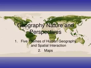
Geography its nature and perspective
120 likes | 312 Vues
Geography its nature and perspective. How to lie with maps. by Bradley Reha and Victor Francia. idea. Lying with maps is a very important part Technology has given people the power to lie a lot more easier Most people just see how good a map looks, without much information.

Geography its nature and perspective
E N D
Presentation Transcript
Geography its nature and perspective How to lie with maps by Bradley Reha and Victor Francia
idea Lying with maps is a very important part Technology has given people the power to lie a lot more easier Most people just see how good a map looks, without much information. Scales can also help lie making it less accurate. The closer you zoom into a map the more the more accurate it is Must be an equal distribution of informing and impressing Cartography, the art and science of making maps
Informative map • Informative maps give much information, but aren’t very interesting. BORING! New York StateIsoline--Topography
New York StateIsoline--Topography Impressive maps EXCITING! • Impressive maps are very interesting to look at, but lack information.
Impressive and informative map • For a map to be really good set up it has to be interesting and informative.. • It has to say what things represent and have things that catch peoples attention. • This map is of the world at night ,the lights represents what countries have there lights on at night which could also mean which countries are richer then others. • The way I can tell is that a lot of countries in Africa don’t have there lights off which probably means they don’t have money to be spending on electricity or aren’t as advanced as the other countries
The way that this maps lie are They do tell you what things are. it doesn’t say were a specific person is at. It doesn’t say where the connections are going to. Older map New map • Red – Verizon • Blue – AT&T • Yellow – Qwest • Green – Level 3 and Sprint Nextel • Black – All cable companies • Grey – Everyone Else • The closed up thin represent the connection from north america
Lying with a scale • The closer you get to a place, the more precise information you have. • The further u are from a map the better u can tell how maps lie • Activity
With newer tecnology its easier to navigate and the world for some people doesn’t look too small “time space compression”