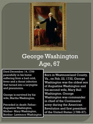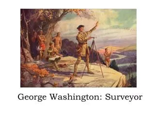
George Washington: Surveyor of the Land
120 likes | 158 Vues
Learn about George Washington's surveying skills and tools. Explore his map of Lawrence's turnip garden. Experience a hands-on surveying activity.

George Washington: Surveyor of the Land
E N D
Presentation Transcript
For the History Channel’s video on George Washington as a surveyor, click below.
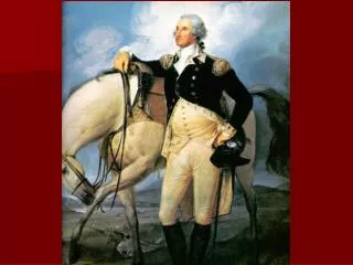
George Washington created this survey map when he was16. The map shows his half-brother Lawrence’s turnip garden
Drawn by George Washington in 1793 – These are all of Washington’s Farms
Tools of the Surveyor • A compass used to map the land • A Gunter’s chain used to measure the land • Stakes with surveyors flags used to mark the measured locations • A protractor used to measure angles
Surveying the Land Link 7.92 inches flag
Perimeter = Sum of all sides10 + 20 + 10 + 20 = 60 feet 20 feet A B 10 feet 10 feet C D 20 feet
Area = Base x Height A B 10 feet D C 20 feet
Does It Measure Up? • Now its your turn… • In small groups, the class will be surveying an area of the playground. • To do this, each group will need two pieces of sidewalk chalk, a Gunter’s chain, a pencil, and a copy of the “Does It Measure Up?” worksheet. • Sketch a picture of the area that includes landmarks such as the slide, swing set, etc. • Measure the distance between the boundary markers determined by your surveyor • Once you have completed the measurements, your group will be computing the area and the perimeter of the land you surveyed.