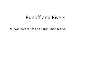
Runoff and Rivers
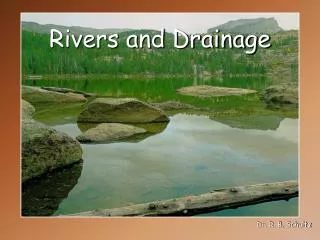
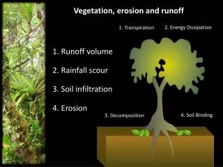
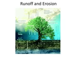
Runoff and Rivers. How Rivers Shape Our Landscape. How do rivers form?. River: A large natural stream that empties into a large body of water such as a lake or ocean. Runoff: precipitation that returns to the sea erodes stream/valley transports sediments (erosion!!!!!) deposits sediments.

Runoff and Rivers
E N D
Presentation Transcript
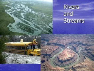
Runoff and Rivers • How Rivers Shape Our Landscape
How do rivers form? • River: A large natural stream that empties into a large body of water such as a lake or ocean. • Runoff: precipitation that returns to the sea • erodes stream/valley • transports sediments (erosion!!!!!) • deposits sediments
River Vocabulary • Capacity: the maximum amount of sediments that a stream can move (transport) • Stream Load: amount of material a stream can move (transport). Depends on capacity and type of land. • Suspended Load: Sediments such as clay that are suspended (floating) in the water. • Deposition: laying down of sediments • Sorting: deposition by size and density • the biggest and heaviest (rocks) are always deposited first • silt and clay (very small) settles last
Load: How do rivers transport sediments? • Three ways a river can carry its load: • Solution: stuff dissolved in the water • Suspension: particle of silt/clay/mud “floating” in the water • Bed load: heavy stuff (rocks) that roll, bounce or slide along the bottom
River Calculations • Gradient-the slope of a river expressed in feet/mile • Velocity-speed expressed feet/second. This can be calculated by timing a piece of wood floating over a certain distance and then dividing the distance by the time • CSA (Cross Sectional Area): width x avg. depth • Discharge: velocity x CSA • Dsi
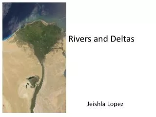
River Features • Deltas: Fan-shaped area of deposition at the mouth of a river • Levee-Man made or natural wall along a river bank that controls flooding • Tributary-A large stream or small river that flows into an area’s main river. • Divide-High area that separates drainage basins (ex. Continental Divide)
River Drainage Patterns • Dendritic: Like tree branches. In areas with some hills. • Radial: In a circle. Mostly from flowing off a mountain. • Rectangular: Flat areas.
River Features • Alluvial Fan: Fan shaped deposits of river transported material called Alluvium. • Normally found at the base of a mountain. Gold can be found here!
River Features • Flood Plain: A flat area on either side of a stream, enclosed by a river valley, that floods during periods of excessive rainfall.
Rivers can erode and deposit • A meandering river moves faster on the outside curve than the inside curve. • Meander: A loop-like bend in a stream’s path. • Erosion occurs on the outside curve called the Cut Bank. • Deposition occurs on the inside curve called the Point Bar.
Oxbow Lake • Oxbow Lake: A lake that forms when a meander is cut-off from the main stream. Is in a curve shape.