Inter-Well Distance Calculation Methods for Apache Canada and ERCB Compliance
This workshop delves into distance calculation methods employed by Apache Canada and the Energy Resources Conservation Board (ERCB). It highlights the process of determining arc distances between various well locations using latitude and longitude coordinates, and projects these onto 10TM map projections within GIS frameworks. Additionally, it discusses regulatory compliance for well licensing, including the creation of buffer zones, and the transition from NAD27 to NAD83 geodetic systems. Practical tools and online resources for geodetic calculations are also provided.

Inter-Well Distance Calculation Methods for Apache Canada and ERCB Compliance
E N D
Presentation Transcript
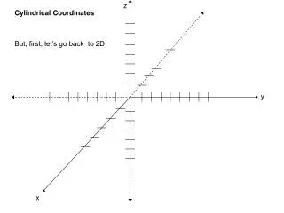
Apache CanadaCoordinates Workshop • CBM inter-well distance calculation methods used by Apache and ERCB • Map projections
Apache calculation • Latitude and longitude of first point is A1 & B1 • Latitude and longitude of second point is A2 & B2 • The arc distance can be computed as: Arccos [cos(A1)cos(B1)cos(A2)cos(B2) + cos(A1)sin(B1)cos(A2)sin(B2) + sin(A1)sin(A2)]/360 * 2Pi * r • In navigation, this is a great circle distance between two points on the surface of a sphere
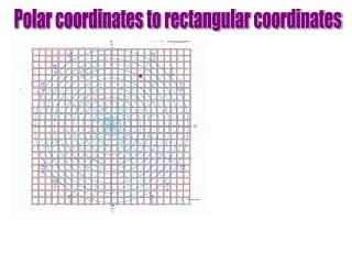
ERCB calculation • Gov’t uses ATS ver 4.1 (MATS 2005) for lat/lon of the nearest section corner • ‘Metes and bounds’ from section corner used to validate lat/lon of the surface location • Directional/horizontal survey used to compute lat/long of the bottom hole • Latitude and longitude of the bottom hole are projected onto a 10TM map projection in their GIS • A 3 km buffer circle is created around the control well • Wells to be licensed more than 3 km from the control well are non-compliant • ERCB is using a 10TM map grid distance between the wells
The 10TM distance • Text Text
Metadata – where would you be without it? • Lat: 51.536004° • Lon: -113.750871°
Metadata – where would you be without it? • North: 5712793.0 • East: 309282.9 • UTM Zone 12
Recommendations • Inverse between NAD83 UTM coordinates as shown on well site plan for well license application • Use online tools as a check
Online Resources • Natural Resources Canada – Geodetic Tools • http://www.geod.nrcan.gc.ca/tools-outils/index_e.php • http://www.geod.nrcan.gc.ca/apps/indir/inverse_e.php • Movable Type Scripts – Great Circle Distance • http://www.movable-type.co.uk/scripts/latlong.html • United States Geodetic Survey – “Map Projections: A Working Manual” • http://pubs.er.usgs.gov/usgspubs/pp/pp1395 • The Geographer’s Craft – Map Projections • http://www.colorado.edu/geography/gcraft/notes/mapproj/mapproj_f.html • Moving to NAD83: Impacts and Issues for Oil and Gas Companies… • http://www.cseg.ca/conventions/abstracts/2002/2002abstracts/Callaghan_S_Boudreault_D_Moving_To_NAD83_BUS-1.pdf • CAPP: Migrating from NAD27 to NAD83… • http://www.divestco.com/getdoc/0556a64e-f05f-4a61-a0c4-e6046d67b4a6/CAPP_Migrating-from-NAD27-to-NAD83.aspx