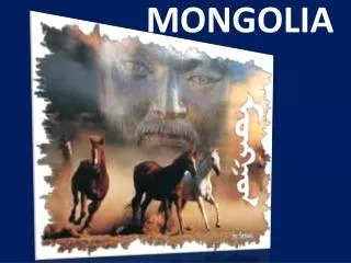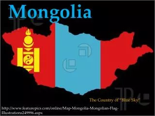
Mongolia
Mongolia. By, Fiona McMechan. Mongolia’s Geography.


Mongolia
E N D
Presentation Transcript
Mongolia By, Fiona McMechan
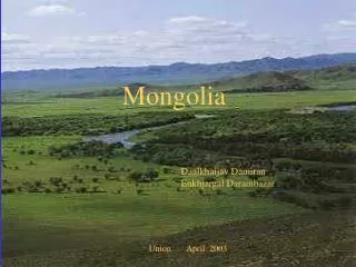
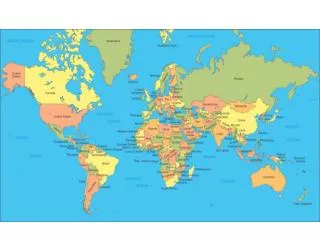
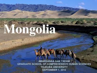
Mongolia’s Geography • The terrain is one of mountains and rolling plateaus, with a high degree of relief. Overall, the land slopes from the high Altai Mountains of the west and the north to plains and depressions in the east and the south. Hutyen Orgil (sometimes called Nayramadlin Orgil--Mount Friendship) in extreme western Mongolia, • The country has an average elevation of 1,580 meters. The landscape includes one of Asia's largest freshwater lakes (Hovsgol Nuur), many salt lakes, marshes, sand dunes, rolling grasslands, alpine forests, and permanent montane glaciers. Northern and western Mongolia are seismically active zones, with frequent earthquakes and many hot springs and extinct volcanoes. • Mongolia has three major mountain ranges. The highest is the Altai Mountains, which stretch across the western and the southwestern regions of the country on a northwest-to-southeast axis. The Hangayn Nuruu, mountains also trending northwest to southeast, occupy much of central and north-central Mongolia. These are older, lower, and more eroded mountains, with many forests and alpine pastures. The Hentiyn Nuruu, mountains near the Soviet border to the northeast of Ulaanbaatar, are lower still.
Mongolia’s Geography Cont. • Much of eastern Mongolia is occupied by a plain, and the lowest area is a southwest-to-northeast trending depression that reaches from the Gobi region in the south to the eastern frontier. The rivers drain in three directions: north to the Arctic Ocean, east to the Pacific, or south to the deserts and the depressions of Inner Asia. Rivers are most extensively developed in the north, and the country's major river system is that of the Selenge-Moron, which drains into Lake Baykal. Some minor tributaries of Siberia's Yenisey River also rise in the mountains of northwestern Mongolia. Rivers in northeastern Mongolia drain into the Pacific through the Argun and Amur (Heilong Jiang) rivers, while the few streams of southern and southwestern Mongolia do not reach the sea but run into salt lakes or deserts. • All info from: http://countrystudies.us/mongolia/33.htm
Mongolia’s Climate • Mongolia is high, cold, and dry. It has an extreme continental climate with long, cold winters and short summers, during which most precipitation falls. The country averages 257 cloudless days a year, and it is usually at the center of a region of high atmospheric pressure. Precipitation is highest in the north, which averages 20 to 35 centimeters per year, and lowest in the south, which receives 10 to 20 centimeters. The extreme south is the Gobi, some regions of which receive no precipitation at all in most years. The name Gobi is a Mongol meaning desert, depression, salt marsh, or steppe, but which usually refers to a category of arid rangeland with insufficient vegetation to support marmots but with enough to support camels. Mongols distinguish gobi from desert proper, although the distinction is not always apparent to outsiders unfamiliar with the Mongolian landscape. Gobi rangelands are fragile and are easily destroyed by overgrazing, which results in expansion of the true desert, a stony waste where not even Bactrian camels can survive. • Average temperatures over most of the country are below freezing from November through March and are about freezing in April and October. January and February averages of -20° C are common, with winter nights of -40° C occurring most years. Summer extremes reach as high as 38° C in the southern Gobi region and 33° C in Ulaanbaatar. More than half the country is covered by permafrost, which makes construction, road building, and mining difficult. All rivers and freshwater lakes freeze over in the winter, and smaller streams commonly freeze to the bottom. Ulaanbaatar lies at 1,351 meters above sea level in the valley of the Tuul Gol, a river. Located in the relatively well-watered north, it receives an annual average of 31 centimeters of precipitation, almost all of which falls in July and in August. Ulaanbaatar has an average annual temperature of -2.9°C and a frost-free period extending on the average from mid-June to late August.
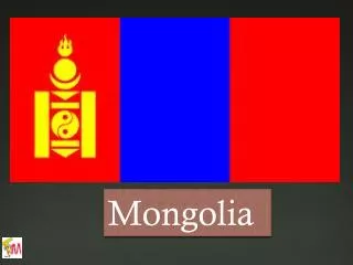
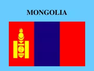
Mongolia’s people and government • Official name: Mongol Uls (Mongolia) • Form of government: unitary multiparty republic with one legislative house (State Great Hural [76]) • Head of state President: NambarynEnkhbayar • Head of government Prime Minister: Sükhbaataryn Batbold • Capital: Ulaanbaatar (Ulan Bator) • Official language: Khalkha Mongolian • Official religion: none • Monetary unit: tugrik (Tug) • Population estimate:(2009) 2,704,000 • Total area (sq mi)603,909 • Total area (sq km)1,564,116 • Got from: http://kids.britannica.com/comptons/atlas?geogId=132
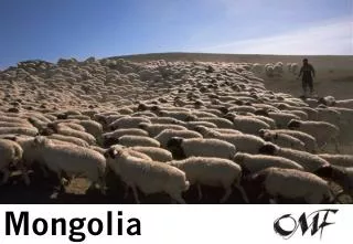
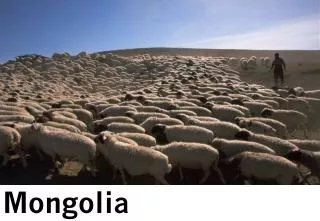
Mongolia’s economy • Mongolia's economy is based on breeding livestock and raising crops. The processing of agricultural and livestock products comprising most of Mongolia's manufacturing. After an attempt during the Communist period to improve production and manufacturing, the government has shifted to a market system. The government is changing to one that is democratic, not socialist, and enterprises that had at one time been state-owned are now being changed to privately owned businesses.
Mongolia’s economy cont. • Household income or consumption by percentage share: lowest 10%: 2.1% highest 10%: 37% (1995)
2010 winter Olympics Mongolia • Population:2,951,786 • Area:603,909 sq. miles • Location:Asia • Capital:Ulaanbaatar • Major Cities :Darhan • Language(s):Khalkha Mongo • lWinter Olympic Debut:1964 • Athletes Competing 2 • Medals Record: • Pre Vancouver • 0- gold • 0-silver • 0-bronze • Vancouver 2010 • 0-gold • 0-silver • 0-bronze